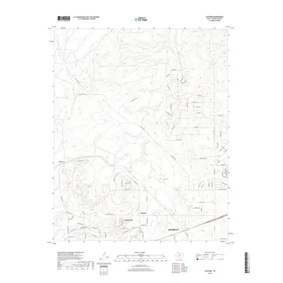
2019 Map of Cliffside
USGS Topo · Published 2019About this map
W Amarillo Cr and its tributaries carve a network of valleys through the High Plains northwest of Amarillo. This modern survey reveals a landscape defined by expanding residential developments like Bishop Hills and Cliffside, which are interwoven with the original cattle-country infrastructure of the Panhandle. Local history is anchored by the Townsend Cem and Arnot Cem, small burial grounds that predate the suburban growth spreading from the city. The topography is marked by named crossings like Hedge Coke Pass and Patrick Pass, while the industrial footprint of the region is seen at a Quarry and along Brickplant Rd. The map tracks the shift from open rangeland near Gentry to the structured street grids of newer neighborhoods such as Sierra Hills Rd.
Find a feature on this map
67 named features on this map. Tap any name to fly to it.
Don’t see what you’re looking for? This feature index may not catch every label — zoom into the map to look around manually.
Map Details
Editions of this 2019 Cliffside Map
This is the sole edition of this map. No revisions or reprints were ever made.
Other maps of this area

1934 · Ady
USGS Topo · 1:62,500

1934 · Cliffside
USGS Topo · 1:62,500

1936 · Cliffside
USGS Topo · 1:62,500

1936 · Ady
USGS Topo · 1:62,500

1953 · Chunky
USGS Topo · 1:24,000

1953 · Puente
USGS Topo · 1:24,000

1953 · Pleasant Valley
USGS Topo · 1:24,000

1953 · Cliffside
USGS Topo · 1:24,000

1954 · Tucumcari
USGS Topo · 1:250,000

1954 · Amarillo
USGS Topo · 1:250,000