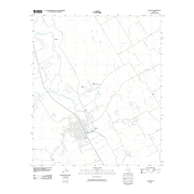
2010 Map of Clifton
USGS Topo · Published 2010About this map
The North Bosque River anchors the geography of this Bosque County map, winding south through the center of Clifton. The river’s importance to the local economy and recreation is visible in features like the Old Mill Dam and the Mermaid Swimming Pool, along with the Olsen Lake Dam located just east of the city center. The landscape transitions from the grid of the city to outlying agricultural and family holdings, such as the Peder Dahl Farm to the southwest and Womack Hall to the northeast.
Find a feature on this map
42 named features on this map. Tap any name to fly to it.
Don’t see what you’re looking for? This feature index may not catch every label — zoom into the map to look around manually.
Map Details
Editions of this 2010 Clifton Map
This is the sole edition of this map. No revisions or reprints were ever made.
Other maps of this area

1888 · Meridian
USGS Topo · 1:125,000

1892 · Waco
USGS Topo · 1:125,000

1894 · Meridian
USGS Topo · 1:125,000

1920 · Waco
USGS Topo · 1:125,000

1924 · Waco 2-b
USGS Topo · 1:48,000

1931 · Whitney
USGS Topo · 1:62,500

1931 · Valley Mills
USGS Topo · 1:62,500

1954 · Waco
USGS Topo · 1:250,000

1955 · Waco
USGS Topo · 1:250,000

1955 · Clifton
USGS Topo · 1:24,000