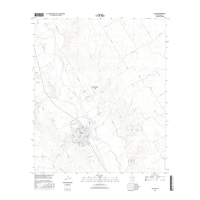
2016 Map of Clifton
USGS Topo · Published 2016About this map
The North Bosque River winds through the heart of this Bosque County landscape, serving as the primary geographic corridor for the city of Clifton. The settlement’s grid is well-defined by a mix of residential streets like Pecan St and arterial routes including FM 219. This mid-2010s survey reveals the local transportation and civic infrastructure, from the Clifton Municipal Airport/Isenhower Field to the south to smaller water features like Old Mill Lake and Olsen Lake. For those tracing family history, the map identifies the Clifton Cem and the Oswald Cem situated further north. The surrounding terrain is dissected by numerous tributaries, including Meridian Creek and Schumacher Cr, which contribute to the drainage pattern of the larger river valley.
Find a feature on this map
65 named features on this map. Tap any name to fly to it.
Don’t see what you’re looking for? This feature index may not catch every label — zoom into the map to look around manually.
Map Details
Editions of this 2016 Clifton Map
This is the sole edition of this map. No revisions or reprints were ever made.
Other maps of this area

1888 · Meridian
USGS Topo · 1:125,000

1892 · Waco
USGS Topo · 1:125,000

1894 · Meridian
USGS Topo · 1:125,000

1920 · Waco
USGS Topo · 1:125,000

1924 · Waco 2-b
USGS Topo · 1:48,000

1931 · Whitney
USGS Topo · 1:62,500

1931 · Valley Mills
USGS Topo · 1:62,500

1954 · Waco
USGS Topo · 1:250,000

1955 · Waco
USGS Topo · 1:250,000

1955 · Clifton
USGS Topo · 1:24,000