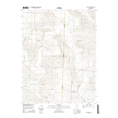
2014 Map of Clifton City
USGS Topo · Published 2014About this map
Clifton City sits at a geographic crossroads in the southeastern portion of this landscape, where the Lamine River and Muddy Creek converge. The terrain is defined by the winding paths of these waterways, which create a complex network of ridges and valleys across the Pettis and Cooper county line. Local family history and settlement patterns are clearly marked by a high concentration of burial sites, including Sowers Cemetery, Lamine Cemetery, Irving Cemetery, Saint Josephs Cemetery, and Lee Cemetery. The road network, featuring names like Bugger Town Rd, Swinging Bridge Dr, and Farmers City Rd, suggests a long history of rural transit between local homesteads and river crossings. Small water features such as Fortunes Lake and numerous branches like Landon Br and Johnson Br drain the uplands, illustrating the hydrologic character of this central Missouri region.
Find a feature on this map
49 named features on this map. Tap any name to fly to it.
Don’t see what you’re looking for? This feature index may not catch every label — zoom into the map to look around manually.
Map Details
Editions of this 2014 Clifton City Map
This is the sole edition of this map. No revisions or reprints were ever made.
Other maps of this area

1887 · Sedalia
USGS Topo · 1:125,000

1888 · Boonville
USGS Topo · 1:125,000

1894 · Sedalia
USGS Topo · 1:125,000

1944 · Sedalia East
USGS Topo · 1:24,000

1946 · Sedalia East
USGS Topo · 1:24,000

1947 · Jefferson City
USGS Topo · 1:250,000

1953 · Pilot Grove North
USGS Topo · 1:24,000

1953 · Pilot Grove South
USGS Topo · 1:24,000
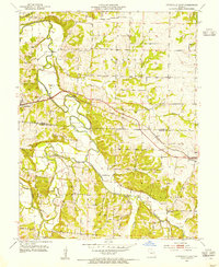
1953 · Otterville East
USGS Topo · 1:24,000
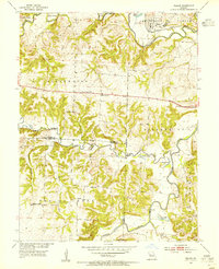
1953 · Nelson
USGS Topo · 1:24,000