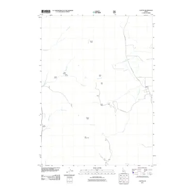
2011 Map of Clifton
USGS Topo · Published 2011About this map
The settlement of Clifton serves as the focal point for this Franklin County landscape, situated where the Bear River Valley floor meets the rising slopes of the Cache National Forest. During this era, the community's agricultural foundations are evidenced by the Twin Lakes Canal West Lateral, a critical piece of water infrastructure that traces the edge of the valley. To the west, the topography rises sharply toward the Oxford Ridge and prominent summits like Buck Peak and Weston Peak.
Find a feature on this map
28 named features on this map. Tap any name to fly to it.
Don’t see what you’re looking for? This feature index may not catch every label — zoom into the map to look around manually.
Map Details
Editions of this 2011 Clifton Map
This is the sole edition of this map. No revisions or reprints were ever made.
Other maps of this area

1915 · Preston
USGS Topo · 1:96,000

1918 · Preston
USGS Topo · 1:125,000

1954 · Pocatello
USGS Topo · 1:250,000

1955 · Preston
USGS Topo · 1:250,000

1958 · Pocatello
USGS Topo · 1:250,000

1958 · Preston
USGS Topo · 1:250,000

1962 · Preston
USGS Topo · 1:250,000

1968 · Malad Summit
USGS Topo · 1:24,000

1968 · Oxford
USGS Topo · 1:24,000

1968 · Malad City East
USGS Topo · 1:24,000