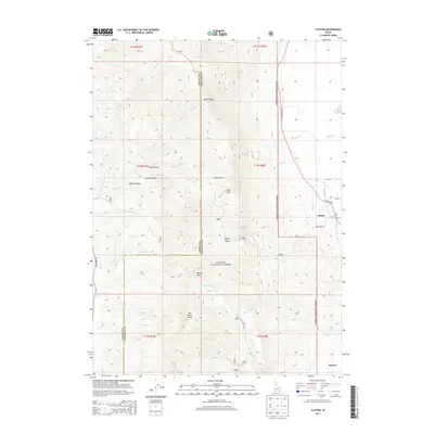
2013 Map of Clifton
USGS Topo · Published 2013About this map
Clifton and Dayton occupy the lower elevations along the eastern edge of this 2013 survey, where the valley floor meets the dramatic rise of the Caribou National Forest. The landscape is defined by the steep transition from the irrigated agricultural lands of the Clifton Basin to the high summits of Oxford Ridge, where peaks like Buck Peak and Weston Peak overlook the surrounding territory. The intricate drainage network of the Bear River range is clearly visible, with Clifton Creek, Fivemile Creek, and Weston Creek descending from the highlands to feed the valley's water systems, including the Twin Lakes Canal W Lateral. Traces of earlier activity appear in place names like Mine Hollow and Steep Canyon, while Cemetery Rd marks a point of local genealogical interest on the outskirts of Clifton.
Find a feature on this map
42 named features on this map. Tap any name to fly to it.
Don’t see what you’re looking for? This feature index may not catch every label — zoom into the map to look around manually.
Map Details
Editions of this 2013 Clifton Map
This is the sole edition of this map. No revisions or reprints were ever made.
Other maps of this area

1915 · Preston
USGS Topo · 1:96,000

1918 · Preston
USGS Topo · 1:125,000

1954 · Pocatello
USGS Topo · 1:250,000

1955 · Preston
USGS Topo · 1:250,000

1958 · Pocatello
USGS Topo · 1:250,000

1958 · Preston
USGS Topo · 1:250,000

1962 · Preston
USGS Topo · 1:250,000

1968 · Malad Summit
USGS Topo · 1:24,000

1968 · Oxford
USGS Topo · 1:24,000

1968 · Malad City East
USGS Topo · 1:24,000