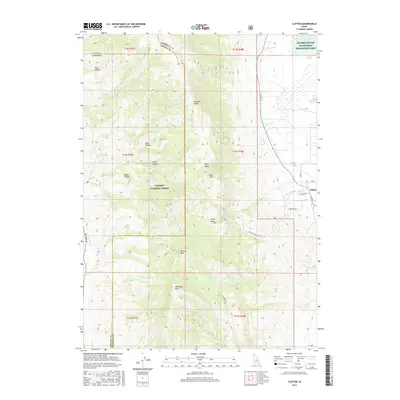
2017 Map of Clifton
USGS Topo · Published 2017About this map
Clifton sits at the base of the high ridges in Franklin County, where the valley floor meets the steep slopes of the Caribou National Forest. This 2017 survey shows the interface between the agricultural lowlands and the high terrain of Oxford Ridge and Weston Peak. To the east, the landscape is defined by the Oxford Slough Waterfowl Production Area and the meandering path of Michael Cr. The map details local infrastructure such as Cemetery Rd and Clifton Creek Rd, which provide access to the various basins and canyons including Clifton Basin and Davis Basin. The western portion of the quadrangle is dominated by the dividing line between Franklin and Oneida counties, crossing over high points like Old Baldy Peak. Named drainages like Fivemile Cr and Weston Cr reveal the natural watershed patterns that historically supported settlement in this part of southeastern Idaho.
Find a feature on this map
41 named features on this map. Tap any name to fly to it.
Don’t see what you’re looking for? This feature index may not catch every label — zoom into the map to look around manually.
Map Details
Editions of this 2017 Clifton Map
This is the sole edition of this map. No revisions or reprints were ever made.
Other maps of this area

1915 · Preston
USGS Topo · 1:96,000

1918 · Preston
USGS Topo · 1:125,000

1954 · Pocatello
USGS Topo · 1:250,000

1955 · Preston
USGS Topo · 1:250,000

1958 · Pocatello
USGS Topo · 1:250,000

1958 · Preston
USGS Topo · 1:250,000

1962 · Preston
USGS Topo · 1:250,000

1968 · Malad Summit
USGS Topo · 1:24,000

1968 · Oxford
USGS Topo · 1:24,000

1968 · Malad City East
USGS Topo · 1:24,000