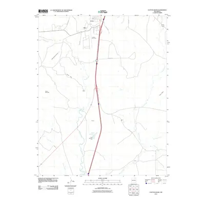
2010 Map of Clifton House
USGS Topo · Published 2010About this map
Raton anchors the northern edge of this Colfax County landscape, where the southern reaches of the city give way to the expansive drainage basin of the Canadian River. This high-plains terrain is defined by its deep arroyos and dramatic elevations, including the prominent Black Mesa and the Clifton Hills. The map details a corridor of historic importance, following the route through Dillon and Clifton House, a site with deep roots in regional commerce and travel. Water management is central to the area's geography, evidenced by Davis Reservoir and its associated dam. The landscape transitions from the residential and industrial fringes of Raton, past La Mesa Park Airport, into the rural ranching and mining environments near Stockton and the Moore Pit. These features illustrate the intersection of traditional land use and modern infrastructure in the northern New Mexico territory.
Find a feature on this map
28 named features on this map. Tap any name to fly to it.
Don’t see what you’re looking for? This feature index may not catch every label — zoom into the map to look around manually.
Map Details
Editions of this 2010 Clifton House Map
This is the sole edition of this map. No revisions or reprints were ever made.
Other maps of this area

1912 · Raton
USGS Topo · 1:62,500

1914 · Raton
USGS Topo · 1:62,500

1915 · Brilliant
USGS Topo · 1:62,500

1915 · Koehler
USGS Topo · 1:62,500

1917 · Koehler
USGS Topo · 1:62,500

1954 · Raton
USGS Topo · 1:250,000

1958 · Raton
USGS Topo · 1:250,000

1971 · Clifton House
USGS Topo · 1:24,000
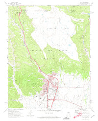
1971 · Raton
USGS Topo · 1:24,000
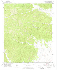
1971 · Red River Peak
USGS Topo · 1:24,000