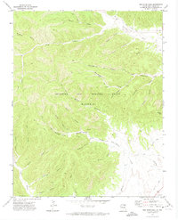
1971 Map of Red River Peak
USGS Topo · Published 1974About this map
The Beaubien and Miranda Grant (Maxwell) encompasses this high-altitude landscape in Colfax County, where the legacy of industrial extraction and private land holdings is written into the terrain. The map reveals a complex network of resource-related features, including an Old Railroad Grade that winds through the southeastern portion of the quadrangle near the Canadian River. Evidence of former mining activity is scattered across the various drainage systems, notably the Ox Canyon Mine and several prospects found deep within Van Houten Canyon.
Find a feature on this map
36 named features on this map. Tap any name to fly to it.
Don’t see what you’re looking for? This feature index may not catch every label — zoom into the map to look around manually.
Map Details
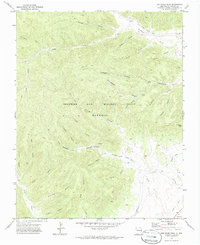
Editions of this 1971 Red River Peak Map
2 editions found
Other maps of this area

1912 · Raton
USGS Topo · 1:62,500

1914 · Raton
USGS Topo · 1:62,500

1915 · Brilliant
USGS Topo · 1:62,500

1915 · Koehler
USGS Topo · 1:62,500

1917 · Koehler
USGS Topo · 1:62,500

1954 · Raton
USGS Topo · 1:250,000

1958 · Raton
USGS Topo · 1:250,000

1971 · Clifton House
USGS Topo · 1:24,000

1971 · Saltpeter Mountain
USGS Topo · 1:24,000
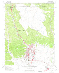
1971 · Raton
USGS Topo · 1:24,000