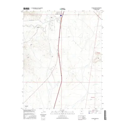
2017 Map of Clifton House
USGS Topo · Published 2017About this map
Raton serves as the gateway to the high plains in this northern New Mexico landscape, where the southern reaches of the city give way to the historic corridor of the Canadian River. The terrain is defined by dramatic volcanic and erosional features, including the rising heights of Green Mtn and the prominent Black Mesa. This area represents a critical intersection of modern transport and early settlement history, with the namesake Clifton House site located near the river's path.
Find a feature on this map
33 named features on this map. Tap any name to fly to it.
Don’t see what you’re looking for? This feature index may not catch every label — zoom into the map to look around manually.
Map Details
Editions of this 2017 Clifton House Map
This is the sole edition of this map. No revisions or reprints were ever made.
Other maps of this area

1912 · Raton
USGS Topo · 1:62,500

1914 · Raton
USGS Topo · 1:62,500

1915 · Brilliant
USGS Topo · 1:62,500

1915 · Koehler
USGS Topo · 1:62,500

1917 · Koehler
USGS Topo · 1:62,500

1954 · Raton
USGS Topo · 1:250,000

1958 · Raton
USGS Topo · 1:250,000

1971 · Clifton House
USGS Topo · 1:24,000
1971 · Raton
USGS Topo · 1:24,000
1971 · Red River Peak
USGS Topo · 1:24,000