
1971 Map of Clifton House
USGS Topo · Published 1974About this map
The historical Clifton House site serves as a focal point in this high plains landscape south of Raton. This area is deeply tied to the movement of people and goods, situated within the Beaubien and Miranda (Maxwell) land grant. The mapping of the Old Santa Fe Trail and its approximate secondary routes highlights the enduring legacy of the West's most famous wagon road. Near Dillon, the presence of the Atchison Topeka and Santa Fe Railroad Grade marks the shift from animal-powered transport to the rail era. The terrain is defined by dramatic elevations like Black Mesa and the Clifton Hills, which overlook the Canadian River and Raton Creek. Local water management is visible at the Davis Reservoir, while various labels for an Old Railroad Grade and an Abandoned airfield suggest a landscape in constant transition.
Find a feature on this map
33 named features on this map. Tap any name to fly to it.
Don’t see what you’re looking for? This feature index may not catch every label — zoom into the map to look around manually.
Map Details
Editions of this 1971 Clifton House Map
This is the sole edition of this map. No revisions or reprints were ever made.
Other maps of this area

1912 · Raton
USGS Topo · 1:62,500

1914 · Raton
USGS Topo · 1:62,500

1915 · Brilliant
USGS Topo · 1:62,500

1915 · Koehler
USGS Topo · 1:62,500

1917 · Koehler
USGS Topo · 1:62,500

1954 · Raton
USGS Topo · 1:250,000

1958 · Raton
USGS Topo · 1:250,000
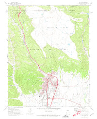
1971 · Raton
USGS Topo · 1:24,000
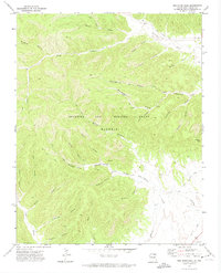
1971 · Red River Peak
USGS Topo · 1:24,000
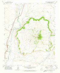
1971 · Eagle Tail Mountain
USGS Topo · 1:24,000