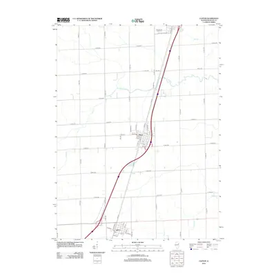
2012 Map of Clifton
USGS Topo · Published 2012About this map
Clifton and Ashkum anchor this central Illinois landscape, showing the organized grid of Iroquois County as it appeared in the early 21st century. The map centers on the corridor between these two primary settlements, where the local economy is defined by agriculture and the transit network. The terrain is marked by gentle drainage systems including Langan Cr, Trail Cr, and Prairie Cr, which navigate between the strictly orthogonal county road system. In the northern reaches, the Saint Mary & Joseph Cem serves as a significant genealogical landmark for the region. The detailed street-level mapping of the towns, featuring labels such as Wilson Dr in Clifton and Lake St in Ashkum, provides a clear view of the residential and commercial cores that have sustained these communities over generations.
Find a feature on this map
55 named features on this map. Tap any name to fly to it.
Don’t see what you’re looking for? This feature index may not catch every label — zoom into the map to look around manually.
Map Details
Editions of this 2012 Clifton Map
This is the sole edition of this map. No revisions or reprints were ever made.
Other maps of this area

1922 · Kankakee
USGS Topo · 1:62,500

1923 · Herscher
USGS Topo · 1:62,500

1924 · Kankakee
USGS Topo · 1:62,500

1925 · Herscher
USGS Topo · 1:62,500

1944 · Piper City
USGS Topo · 1:48,000

1944 · Gilman
USGS Topo · 1:62,500

1946 · Gilman
USGS Topo · 1:62,500

1947 · Piper City
USGS Topo · 1:62,500

1953 · Chicago
USGS Topo · 1:250,000

1953 · Danville
USGS Topo · 1:250,000