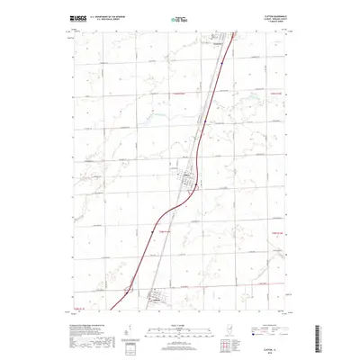
2018 Map of Clifton
USGS Topo · Published 2018About this map
Clifton and Ashkum serve as central nodes in this section of Iroquois County, where the grid of rural section roads meets the modern infrastructure of Interstate 57. The landscape is defined by the drainage patterns of Langan Creek and Prairie Cr, which cut diagonally across the agricultural parcels. To the north, the settlement of Chebanse sits on the boundary, accompanied by the Saint Mary & Joseph Cem. The map illustrates the transition from traditional local routes like N Old US 45 to the high-speed transit corridor that now bisects the region. Researchers can trace the layout of small-town residential streets in Clifton, such as W Lincoln Ave and S Chestnut St, against the surrounding expanse of farmland partitioned by long-standing county roads.
Find a feature on this map
73 named features on this map. Tap any name to fly to it.
Don’t see what you’re looking for? This feature index may not catch every label — zoom into the map to look around manually.
Map Details
Editions of this 2018 Clifton Map
This is the sole edition of this map. No revisions or reprints were ever made.
Other maps of this area

1922 · Kankakee
USGS Topo · 1:62,500

1923 · Herscher
USGS Topo · 1:62,500

1924 · Kankakee
USGS Topo · 1:62,500

1925 · Herscher
USGS Topo · 1:62,500

1944 · Piper City
USGS Topo · 1:48,000

1944 · Gilman
USGS Topo · 1:62,500

1946 · Gilman
USGS Topo · 1:62,500

1947 · Piper City
USGS Topo · 1:62,500

1953 · Chicago
USGS Topo · 1:250,000

1953 · Danville
USGS Topo · 1:250,000