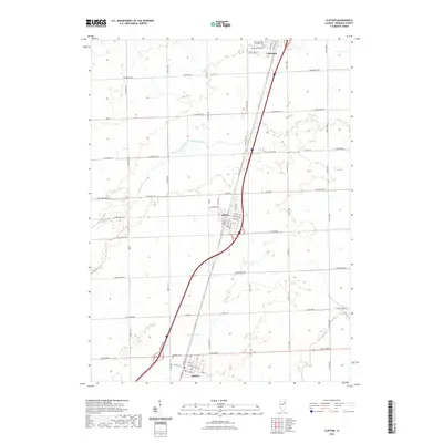
2021 Map of Clifton
USGS Topo · Published 2021About this map
Clifton and Ashkum serve as the primary hubs of this Iroquois County landscape, anchored by a network of rural roads that divide the terrain into its traditional agricultural grid. The settlement of Chebanse sits at the northern edge, where the Saint Mary and Joseph Cem and Evergreen Cem provide vital reference points for local genealogy. The geography is defined by the winding paths of Langan Creek and its tributary Langan Cr, which cut across the rectilinear surveying of roads like Co RD 3300 N and E 3200 North Rd. To the south near the village of Ashkum, the Ashkum Cem marks the historical footprint of the community. This modern digital survey reflects the enduring layout of the prairie's small-town corridors and the vital watercourses like Prairie Cr that have shaped local drainage and land use for generations.
Find a feature on this map
63 named features on this map. Tap any name to fly to it.
Don’t see what you’re looking for? This feature index may not catch every label — zoom into the map to look around manually.
Map Details
Editions of this 2021 Clifton Map
This is the sole edition of this map. No revisions or reprints were ever made.
Other maps of this area

1922 · Kankakee
USGS Topo · 1:62,500

1923 · Herscher
USGS Topo · 1:62,500

1924 · Kankakee
USGS Topo · 1:62,500

1925 · Herscher
USGS Topo · 1:62,500

1944 · Piper City
USGS Topo · 1:48,000

1944 · Gilman
USGS Topo · 1:62,500

1946 · Gilman
USGS Topo · 1:62,500

1947 · Piper City
USGS Topo · 1:62,500

1953 · Chicago
USGS Topo · 1:250,000

1953 · Danville
USGS Topo · 1:250,000