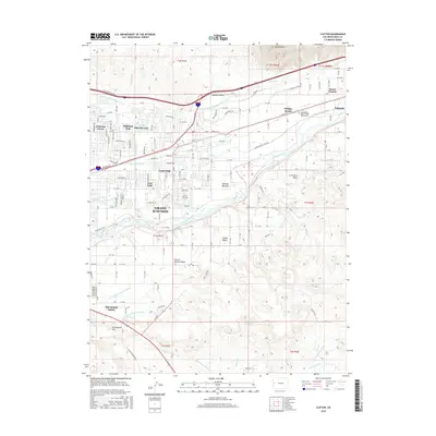
2016 Map of Clifton
USGS Topo · Published 2016About this map
Clifton and Fruitvale occupy the heart of this agricultural corridor along the Colorado River, where a complex system of irrigation works transformed the high desert into a productive fruit-growing region. The map details the intricate network of water management essential to the area's development, including the Government Highline Canal, Grand Valley Canal, and Price Ditch. Near the community of Palisade, the Independent Order of Odd Fellows Cem stands as a local landmark above the river valley. To the south, Orchard Mesa is defined by its own dedicated water systems like Orchard Mesa Canal Number 1, illustrating the intensive land use that historically supported the Grand Valley's famous orchards. This survey captures the suburban expansion of Grand Junction into established rural tracts like Pear Park and Highland Park during the early 21st century.
Find a feature on this map
77 named features on this map. Tap any name to fly to it.
Don’t see what you’re looking for? This feature index may not catch every label — zoom into the map to look around manually.
Map Details
Editions of this 2016 Clifton Map
This is the sole edition of this map. No revisions or reprints were ever made.
Other maps of this area

1955 · Cameo
USGS Topo · 1:24,000

1956 · Moab
USGS Topo · 1:250,000

1956 · Grand Junction
USGS Topo · 1:250,000

1959 · Grand Junction
USGS Topo · 1:250,000

1959 · Moab
USGS Topo · 1:250,000

1960 · Moab
USGS Topo · 1:250,000

1960 · Grand Junction
USGS Topo · 1:250,000

1962 · Moab
USGS Topo · 1:250,000

1962 · Grand Junction
USGS Topo · 1:250,000

1962 · Clifton
USGS Topo · 1:24,000