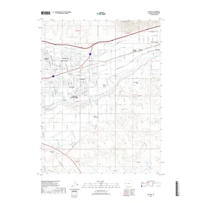
2019 Map of Clifton
USGS Topo · Published 2019About this map
Grand Junction and the eastern reaches of the Grand Valley define this landscape, where the Colorado River meets an extensive network of human-made irrigation works. The density of infrastructure, including the Government Highline Canal, Price Ditch, and Grand Valley Canal, reveals the intensive agricultural transformation of this arid environment. These waterways sustain the distinct communities of Fruitvale, Clifton, and Palisade, which sit at the transition from the valley floor to the rising terrain of East Orchard Mesa and Central Orchard Mesa.
Find a feature on this map
88 named features on this map. Tap any name to fly to it.
Don’t see what you’re looking for? This feature index may not catch every label — zoom into the map to look around manually.
Map Details
Editions of this 2019 Clifton Map
This is the sole edition of this map. No revisions or reprints were ever made.
Other maps of this area

1955 · Cameo
USGS Topo · 1:24,000

1956 · Moab
USGS Topo · 1:250,000

1956 · Grand Junction
USGS Topo · 1:250,000

1959 · Grand Junction
USGS Topo · 1:250,000

1959 · Moab
USGS Topo · 1:250,000

1960 · Moab
USGS Topo · 1:250,000

1960 · Grand Junction
USGS Topo · 1:250,000

1962 · Moab
USGS Topo · 1:250,000

1962 · Grand Junction
USGS Topo · 1:250,000

1962 · Clifton
USGS Topo · 1:24,000