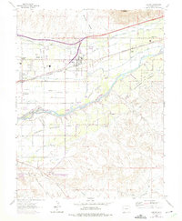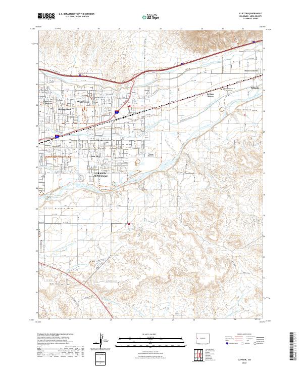
2022 Map of Clifton
USGS Topo · Published 2022About this map
The Colorado River defines this portion of the Grand Valley, where a complex irrigation network including the Government Highline Canal and Grand Valley Canal has long supported the fruit-growing region near Clifton. The landscape transitions from the residential developments of Highland Park and Pear Park to the expansive agriculture of East Orchard Mesa and Central Orchard Mesa. Notable local landmarks like Mount Lincoln and the Independent Order of Odd Fellows Cem near Palisade reflect the deep-rooted community history established alongside the river and railroad corridors.
Find a feature on this map
46 named features on this map. Tap any name to fly to it.
Don’t see what you’re looking for? This feature index may not catch every label — zoom into the map to look around manually.
Map Details
Editions of this 2022 Clifton Map
This is the sole edition of this map. No revisions or reprints were ever made.