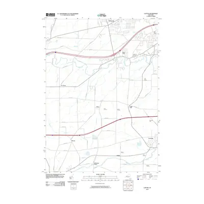
2010 Map of Clifton
USGS Topo · Published 2010About this map
Scottsville and Garbutt anchor the southeastern corner of this study, positioned near the meandering course of Oatka Creek. The landscape transition from the village centers to the rural north is defined by a dense network of country roads such as Wheatland Center Rd and Chili Riga Townline Rd, connecting smaller hamlets like Clifton and Belcoda. This area is particularly rich for genealogical research, documenting numerous burial grounds including the Saint Felicia Cemetery, Presbyterian Cemetery, and the Quaker Cemetery near Wheatland Center.
Find a feature on this map
64 named features on this map. Tap any name to fly to it.
Don’t see what you’re looking for? This feature index may not catch every label — zoom into the map to look around manually.
Map Details
Editions of this 2010 Clifton Map
This is the sole edition of this map. No revisions or reprints were ever made.
Other maps of this area

1895 · Rochester
USGS Topo · 1:62,500

1898 · Rochester
USGS Topo · 1:62,500

1899 · Brockport
USGS Topo · 1:62,500

1901 · Honeoye
USGS Topo · 1:62,500

1904 · Caledonia
USGS Topo · 1:62,500

1904 · Honeoye
USGS Topo · 1:62,500

1912 · Rochester
USGS Topo · 1:62,500

1920 · Rochester
USGS Topo · 1:62,500

1931 · Rochester West
USGS Topo · 1:24,000

1932 · Spencerport
USGS Topo · 1:24,000