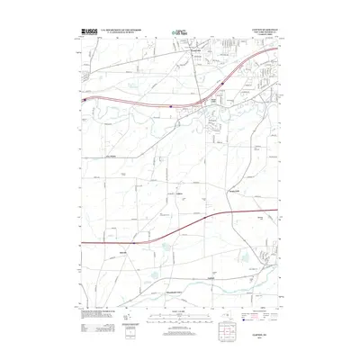
2013 Map of Clifton
USGS Topo · Published 2013About this map
North Chili and its surrounding hamlets are defined by a network of historic cemeteries and riparian corridors in this early 21st-century landscape. The area south of the West Shore railroad tracks transitions from residential pockets into a agricultural and recreational zone, featuring the Mill Creek Golf Course and the winding course of Mill Cr. Family-named farmsteads like Kohlman Farms and Volkman Farms remain visible on the landscape, highlighting the persistent rural character of the region.
Find a feature on this map
143 named features on this map. Tap any name to fly to it.
Don’t see what you’re looking for? This feature index may not catch every label — zoom into the map to look around manually.
Map Details
Editions of this 2013 Clifton Map
This is the sole edition of this map. No revisions or reprints were ever made.
Other maps of this area

1895 · Rochester
USGS Topo · 1:62,500

1898 · Rochester
USGS Topo · 1:62,500

1899 · Brockport
USGS Topo · 1:62,500

1901 · Honeoye
USGS Topo · 1:62,500

1904 · Caledonia
USGS Topo · 1:62,500

1904 · Honeoye
USGS Topo · 1:62,500

1912 · Rochester
USGS Topo · 1:62,500

1920 · Rochester
USGS Topo · 1:62,500

1931 · Rochester West
USGS Topo · 1:24,000

1932 · Spencerport
USGS Topo · 1:24,000