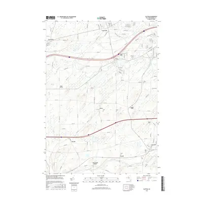
2016 Map of Clifton
USGS Topo · Published 2016About this map
North Chili and Churchville anchor the northern landscape of this Monroe County region, where the terrain is defined by the winding paths of Black Creek and Oatka Creek. The 2016 survey illustrates a well-connected suburban and rural network, centered around the hamlet of Clifton and the more industrial and residential pockets of West Chili and South Chili. A high concentration of burial grounds, such as the Buckbee Rural Cem and Quaker Cem, suggests a long history of community settlement patterns that have persisted through modern development.
Find a feature on this map
119 named features on this map. Tap any name to fly to it.
Don’t see what you’re looking for? This feature index may not catch every label — zoom into the map to look around manually.
Map Details
Editions of this 2016 Clifton Map
This is the sole edition of this map. No revisions or reprints were ever made.
Other maps of this area

1895 · Rochester
USGS Topo · 1:62,500

1898 · Rochester
USGS Topo · 1:62,500

1899 · Brockport
USGS Topo · 1:62,500

1901 · Honeoye
USGS Topo · 1:62,500

1904 · Caledonia
USGS Topo · 1:62,500

1904 · Honeoye
USGS Topo · 1:62,500

1912 · Rochester
USGS Topo · 1:62,500

1920 · Rochester
USGS Topo · 1:62,500

1931 · Rochester West
USGS Topo · 1:24,000

1932 · Spencerport
USGS Topo · 1:24,000