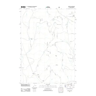
2012 Map of Clifton
USGS Topo · Published 2012About this map
Clifton serves as the focal point of this Weston County landscape, where the high plains meet the eastern foothills of the Black Hills. This survey documents a quiet rural corridor defined by deep drainages like Clifton Canyon and Carr Canyon. The presence of the Clifton School and Blaine Ranch indicates the persistent ranching economy of the region, while the Mountains Lookout Tower stands atop the high ground of the Elk Mountains.
Find a feature on this map
42 named features on this map. Tap any name to fly to it.
Don’t see what you’re looking for? This feature index may not catch every label — zoom into the map to look around manually.
Map Details
Editions of this 2012 Clifton Map
This is the sole edition of this map. No revisions or reprints were ever made.
Other maps of this area

1896 · Harney Peak
USGS Topo · 1:125,000

1899 · Newcastle
USGS Topo · 1:125,000

1901 · Harney Peak
USGS Topo · 1:125,000

1901 · Newcastle
USGS Topo · 1:125,000

1951 · Owens
USGS Topo · 1:24,000

1951 · Dewey
USGS Topo · 1:24,000

1951 · Dewey SW
USGS Topo · 1:24,000

1951 · Newcastle
USGS Topo · 1:24,000

1951 · Fanny Peak
USGS Topo · 1:24,000

1951 · Clifton
USGS Topo · 1:24,000