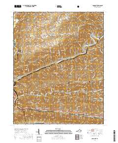
2019 Map of Clinchport
USGS Topo · Published 2019About this map
The Clinch River and its deep mountain cuts define this portion of Scott County, where the topography of Copper Ridge and Clinch Mountain necessitated complex rail engineering. The region is notable for its numerous railroad tunnels and passage points, including the famed Natural Tunnel, the Clinch Mountain Tunnel, and the Clinchfield Viaduct near Clinchport. These features illustrate the historical importance of the Clinchfield rail line in navigating the steep terrain of the Appalachians.
Find a feature on this map
148 named features on this map. Tap any name to fly to it.
Don’t see what you’re looking for? This feature index may not catch every label — zoom into the map to look around manually.
Map Details
Editions of this 2019 Clinchport Map
This is the sole edition of this map. No revisions or reprints were ever made.
Other maps of this area

1894 · Estillville
USGS Topo · 1:125,000
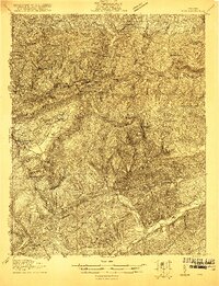
1920 · Wise
USGS Topo · 1:48,000
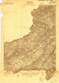
1921 · Big Stone Gap
USGS Topo · 1:48,000
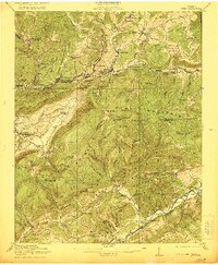
1921 · Wise
USGS Topo · 1:62,500
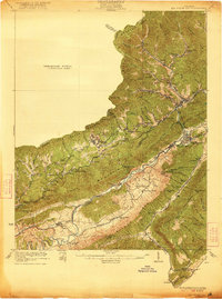
1922 · Big Stone Gap
USGS Topo · 1:62,500
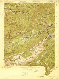
1929 · Big Stone Gap
USGS Topo · 1:62,500
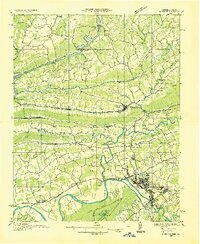
1935 · Moggasin
USGS Topo · 1:48,000
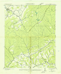
1935 · East Stone Gap
USGS Topo · 1:24,000
1935 · Kingsport
USGS Topo · 1:24,000
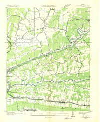
1935 · Clinchport
USGS Topo · 1:24,000