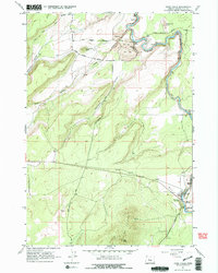
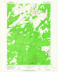
1962 Map of Cline Falls
USGS Topo · Published 1975About this map
The Deschutes River carves a deep path through this Central Oregon landscape, punctuated by the dramatic cascades of Big Falls, Odin Falls, and Cline Falls. In the early 1960s, this area reflects a mix of developing recreation and active resource extraction. The eastern edge of the river features Cline Falls State Park, while just to the north, industrial activity is evident at the Oremite Mine, several Strip Mine sites, and a Powerhouse.
Find a feature on this map
28 named features on this map. Tap any name to fly to it.
Don’t see what you’re looking for? This feature index may not catch every label — zoom into the map to look around manually.
Map Details
Editions of this 1962 Cline Falls Map
3 editions found
Other maps of this area

1926 · Bend
USGS Topo · 1:125,000

1929 · Bend
USGS Topo · 1:125,000

1955 · Bend
USGS Topo · 1:250,000

1957 · Bend
USGS Topo · 1:250,000

1958 · Bend
USGS Topo · 1:250,000

1961 · Redmond
USGS Topo · 1:24,000

1962 · Opal City
USGS Topo · 1:24,000

1962 · Forked Horn Butte
USGS Topo · 1:24,000
1962 · Redmond
USGS Topo · 1:24,000
1962 · Cline Falls
USGS Topo · 1:24,000