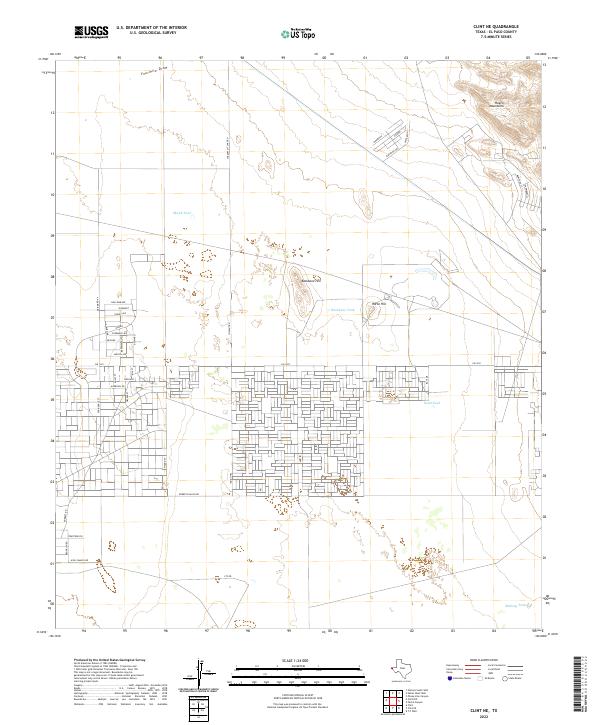
2022 Map of Clint NE
USGS Topo · Published 2022About this map
The high desert landscape of El Paso County is defined here by the rising slopes of the Hueco Mountains in the northeast and a series of isolated landmarks across the basin floor. This modern topographic record shows a shifting environment where traditional ranching infrastructure meets expanding suburban development. Water management remains central to the character of the land, evidenced by named catchment points like Skunk Tank, Backbone Tank, and Sand Tank, which sit alongside drainage features such as Fourmile Draw.
Find a feature on this map
42 named features on this map. Tap any name to fly to it.
Don’t see what you’re looking for? This feature index may not catch every label — zoom into the map to look around manually.
Map Details
Editions of this 2022 Clint NE Map
This is the sole edition of this map. No revisions or reprints were ever made.
Other maps of this area

1896 · El Paso
USGS Topo · 1:125,000

1903 · Cerro Alto
USGS Topo · 1:125,000

1908 · El Paso
USGS Topo · 1:125,000

1939 · Heuco Tanks
USGS Topo · 1:62,500

1940 · Heuco Tanks
USGS Topo · 1:62,500

1941 · Clint
USGS Topo · 1:62,500

1941 · Heuco Mountains
USGS Topo · 1:62,500

1942 · Borrego
USGS Topo · 1:62,500

1943 · Heuco Mountains
USGS Topo · 1:62,500

1944 · Heuco Tanks
USGS Topo · 1:62,500