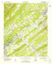
1952 Map of Clinton
USGS Topo · Published 1956About this map
The Clinton area of Anderson County is defined by the sharp topographical ridges of the Ridge-and-Valley Appalachians, where the Clinch River carves a deep bend around South Clinton and the Lost Bottoms. This mid-century survey documents the region during a period of massive federal influence, with a significant portion of the landscape dedicated to the U S Atomic Energy Commission (Oak Ridge Area). Within this restricted zone, the planned community of Oak Ridge is visible, including the commercial hub at Jackson Square.
Find a feature on this map
104 named features on this map. Tap any name to fly to it.
Don’t see what you’re looking for? This feature index may not catch every label — zoom into the map to look around manually.
Map Details
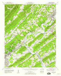
Editions of this 1952 Clinton Map
2 editions found
Other maps of this area

1893 · Briceville
USGS Topo · 1:125,000

1895 · Loudon
USGS Topo · 1:125,000

1895 · Briceville
USGS Topo · 1:125,000

1896 · Briceville
USGS Topo · 1:125,000

1935 · Bethel Valley
USGS Topo · 1:24,000

1935 · Bearden
USGS Topo · 1:24,000

1935 · Lovell
USGS Topo · 1:24,000

1936 · Duncan Flats
USGS Topo · 1:24,000

1936 · Windrock
USGS Topo · 1:24,000

1936 · Norris Dam
USGS Topo · 1:48,000