Loading...
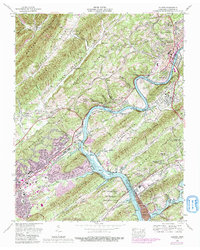
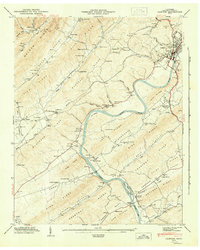
Loading map...1968 Map of Clinton
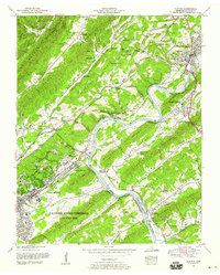
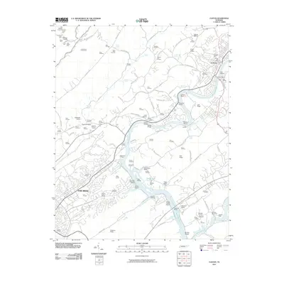
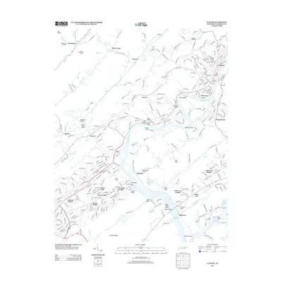
USGS Topo · Published 1991About this map
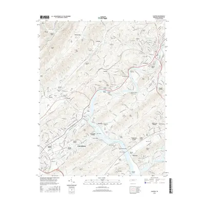
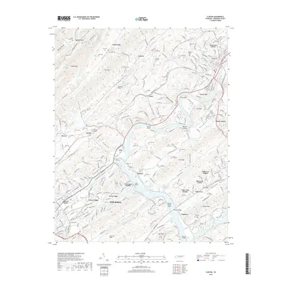
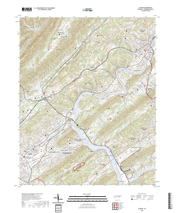
The Clinch River carves a deep path through the Ridge-and-Valley Appalachians, defining the landscape where Clinton and the U.S. Department of Energy Oak Ridge Area meet. This mid-century survey captures a region in transition, where established rural communities like Dutch Valley and Marlow exist alongside the industrial footprint of the Bull Run Steam Plant. The expansion of urban areas, indicated by purple tinting from 1987 revisions, shows the growth of Oak Ridge neighborhoods such as Emory Heights and Conasauga Heights.
Find a feature on this map
67 named features on this map. Tap any name to fly to it.
Don’t see what you’re looking for? This feature index may not catch every label — zoom into the map to look around manually.
Map Details
Date Portrayed1968
Date Published1991
PublisherU.S. Geological Survey
Map TypeTopographic
Scale1:24,000
Physical Dimensions22 x 27.5 inches
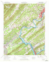
Editions of this 1968 Clinton Map
3 editions found
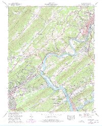
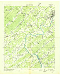
Historical Maps of Oak Ridge Through Time
9 maps found
Featured Locations
Source Details
SourceU.S. Geological Survey
CopyrightPublic Domain