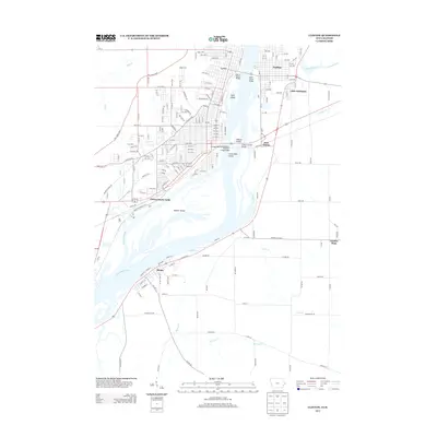
2013 Map of Clinton
USGS Topo · Published 2013About this map
The Mississippi River defines the landscape of this quadrangle, serving as the border between Iowa and Illinois. The city of Lyons and the Clinton Stock Yards anchor the western shore, while the communities of Fulton, East Clinton, and Little Oklahoma occupy the eastern bank. This area is a critical transportation hub where the Chicago and Northwestern Railroad crosses the water via a Swing Bridge, alongside several major spans including the Mark N Morris Bridge and Clinton Illinois Bridge.
Find a feature on this map
178 named features on this map. Tap any name to fly to it.
Don’t see what you’re looking for? This feature index may not catch every label — zoom into the map to look around manually.
Map Details
Editions of this 2013 Clinton Map
This is the sole edition of this map. No revisions or reprints were ever made.
Other maps of this area

1891 · Clinton
USGS Topo · 1:62,500

1892 · Goose Lake
USGS Topo · 1:62,500

1892 · Leclaire
USGS Topo · 1:62,500

1893 · Leclaire
USGS Topo · 1:62,500

1894 · Goose Lake
USGS Topo · 1:62,500

1894 · Clinton
USGS Topo · 1:62,500

1899 · Clinton
USGS Topo · 1:125,000

1952 · Erie
USGS Topo · 1:62,500

1952 · Clinton
USGS Topo · 1:62,500
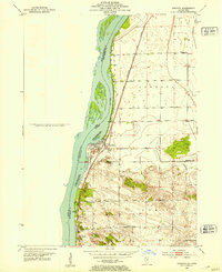
1952 · Cordova
USGS Topo · 1:24,000