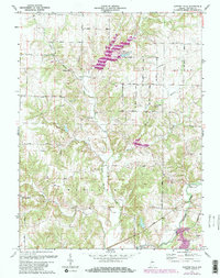
1971 Map of Clinton Falls
USGS Topo · Published 1981About this map
Little Walnut Creek and Walnut Creek define the drainage patterns of this Putnam County landscape, where the rural character of central Indiana is preserved through its traditional landmarks. This 1971 survey highlights the architectural heritage of the region, specifically three significant crossings: Collins Covered Bridge, Dunbar Covered Bridge, and Oakalla Covered Bridge. These structures represent a critical era of local transportation before modern replacements became the standard.
Find a feature on this map
36 named features on this map. Tap any name to fly to it.
Don’t see what you’re looking for? This feature index may not catch every label — zoom into the map to look around manually.
Map Details
Editions of this 1971 Clinton Falls Map
3 editions found
Other maps of this area

1950 · Brazil East
USGS Topo · 1:24,000

1951 · Clinton Falls
USGS Topo · 1:24,000

1951 · Mansfield
USGS Topo · 1:24,000

1952 · Reelsville
USGS Topo · 1:24,000

1953 · Indianapolis
USGS Topo · 1:250,000

1955 · Russellville
USGS Topo · 1:24,000

1956 · Indianapolis
USGS Topo · 1:250,000

1956 · Cloverdale
USGS Topo · 1:24,000

1957 · Indianapolis
USGS Topo · 1:250,000

1958 · Roachdale
USGS Topo · 1:24,000