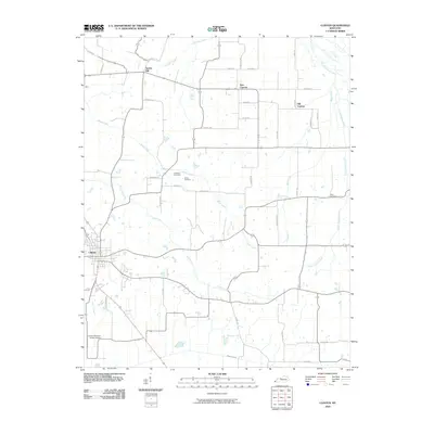
2010 Map of Clinton
USGS Topo · Published 2010About this map
Clinton, the seat of Hickman County, serves as the primary hub of this Western Kentucky landscape, situated just north of the Bayou de Chien. The surrounding rural territory is defined by a dendritic network of streams, including Brush Creek, Cane Creek, and Russells Creek, which have historically influenced the placement of early homesteads and cemeteries. The map reveals a transition between established settlements like Old Cypress and New Cypress, alongside smaller communities such as Spring Hill. Genealogists will find notable burial sites preserved across the landscape, such as the McWhort Cemetery, Vivrett Cemetery, and Hays Cemetery. Transportation patterns are anchored by the Clinton-Hickman County Airport and a grid of local roads like Spring Hill Rd and Sneed Rd, reflecting the region's enduring agricultural layout into the early 21st century.
Find a feature on this map
41 named features on this map. Tap any name to fly to it.
Don’t see what you’re looking for? This feature index may not catch every label — zoom into the map to look around manually.
Map Details
Editions of this 2010 Clinton Map
This is the sole edition of this map. No revisions or reprints were ever made.
Other maps of this area

1939 · Wickliffe
USGS Topo · 1:62,500

1939 · Hickman
USGS Topo · 1:62,500

1951 · Cayce
USGS Topo · 1:24,000

1951 · Oakton
USGS Topo · 1:24,000

1951 · Arlington
USGS Topo · 1:24,000

1951 · Milburn
USGS Topo · 1:24,000

1952 · Clinton
USGS Topo · 1:24,000

1952 · Dublin
USGS Topo · 1:24,000

1952 · Crutchfield
USGS Topo · 1:24,000

1952 · Fancy Farm
USGS Topo · 1:24,000