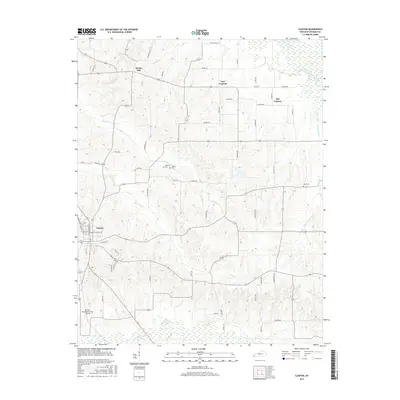
2016 Map of Clinton
USGS Topo · Published 2016About this map
Clinton serves as the focal point of this western Kentucky landscape, situated near the headwaters of numerous waterways including Cane Cr and Brush Cr. The town's grid, defined by streets like N Washington St and E Jackson St, transitions quickly into a rural mosaic of agricultural fields and rolling creek bottoms. The northern reaches of the map are defined by the distinct communities of Spring Hill, New Cypress, and Old Cypress, revealing a settlement pattern that follows the subtle ridges between drainage basins. Local history and genealogy are anchored by small, family-named landmarks such as McWhorter Cem, Vivrett Cem, and Hays Cem. To the south, the terrain descends toward the wetlands of Bayou de Chien, while the Clinton-Hickman County Airport marks a modern utility in this predominantly rural Hickman County setting.
Find a feature on this map
59 named features on this map. Tap any name to fly to it.
Don’t see what you’re looking for? This feature index may not catch every label — zoom into the map to look around manually.
Map Details
Editions of this 2016 Clinton Map
This is the sole edition of this map. No revisions or reprints were ever made.
Other maps of this area

1939 · Wickliffe
USGS Topo · 1:62,500

1939 · Hickman
USGS Topo · 1:62,500

1951 · Cayce
USGS Topo · 1:24,000

1951 · Oakton
USGS Topo · 1:24,000

1951 · Arlington
USGS Topo · 1:24,000

1951 · Milburn
USGS Topo · 1:24,000

1952 · Clinton
USGS Topo · 1:24,000

1952 · Dublin
USGS Topo · 1:24,000

1952 · Crutchfield
USGS Topo · 1:24,000

1952 · Fancy Farm
USGS Topo · 1:24,000