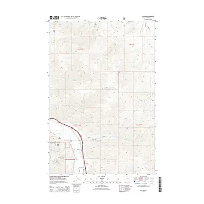
2014 Map of Clinton
USGS Topo · Published 2014About this map
Clinton occupies the flat land where the Clark Fork river meets the canyon mouths of the Lolo National Forest. This 2014 survey reveals a landscape of high ridges and deep drainages, including Olson Peak and several named ravines such as Leeper Gulch and Tule Gulch. The transportation corridor is anchored by the river and major roads like E Mullan Rd, while rural access is maintained through routes like Bear Creek Rd and Schwartz Creek Rd. The map illustrates the sharp transition from the valley floor to the forested peaks, with water features like Wallace Cr and Donovan Cr draining the steep terrain. Numerous local roads, including Wayback Rd and Two Hawks Ln, point to modern residential expansion along the creek beds and lower slopes.
Find a feature on this map
33 named features on this map. Tap any name to fly to it.
Don’t see what you’re looking for? This feature index may not catch every label — zoom into the map to look around manually.
Map Details
Editions of this 2014 Clinton Map
This is the sole edition of this map. No revisions or reprints were ever made.
Other maps of this area

1903 · Bonner
USGS Topo · 1:125,000

1947 · Butte
USGS Topo · 1:250,000

1958 · Butte
USGS Topo · 1:250,000

1959 · Cleveland Mountain
USGS Topo · 1:62,500

1959 · Ravenna
USGS Topo · 1:62,500

1960 · Butte
USGS Topo · 1:250,000

1962 · Butte
USGS Topo · 1:250,000
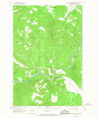
1965 · Sunflower Mountain
USGS Topo · 1:24,000
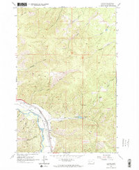
1965 · Clinton
USGS Topo · 1:24,000
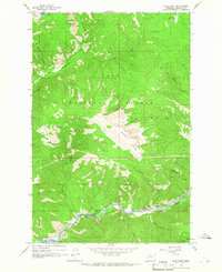
1965 · Blue Point
USGS Topo · 1:24,000