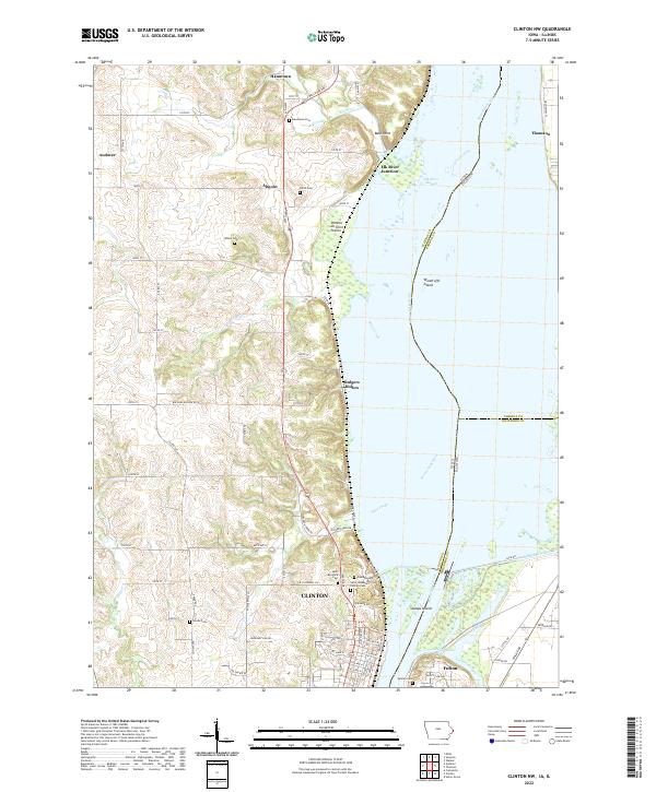
2022 Map of Clinton NW
USGS Topo · Published 2022About this map
Clinton and Fulton anchor this reach of the Mississippi River, where the state line follows the main channel between Iowa and Illinois. The landscape is defined by the river's complex hydrology, featuring numerous islands such as Woodruffs Island and Stamps Island, alongside backwater features like Elk River Slough and Cattail Slough. Inland from the river bluffs, the terrain transitions into agricultural uplands dotted with small settlements like Hauntown, Almont, and Andover.
Find a feature on this map
71 named features on this map. Tap any name to fly to it.
Don’t see what you’re looking for? This feature index may not catch every label — zoom into the map to look around manually.
Map Details
Editions of this 2022 Clinton NW Map
This is the sole edition of this map. No revisions or reprints were ever made.
Historical Maps of Bulgers Hollow Through Time
12 maps found
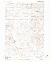
1953 De Witt
Clinton County, IA
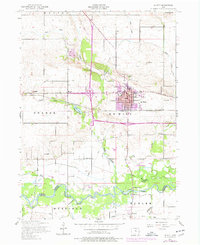
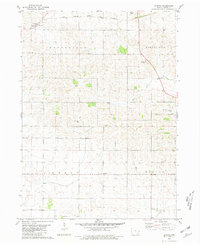
1953 Malone
Clinton County, IA
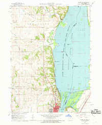
1967 Clinton NW
Clinton County, IA
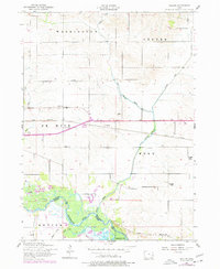
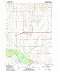
1980 Delmar South
Clinton County, IA
1980 Elwood
Clinton County, IA
1991 De Witt
Clinton County, IA
1991 Malone
Clinton County, IA
2022 Clinton NW
Clinton County, IA
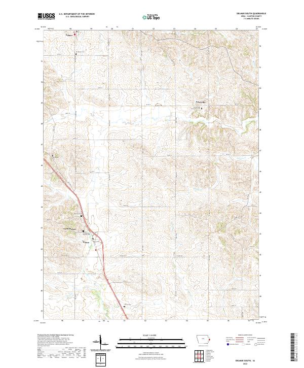
2022 Delmar South
Clinton County, IA
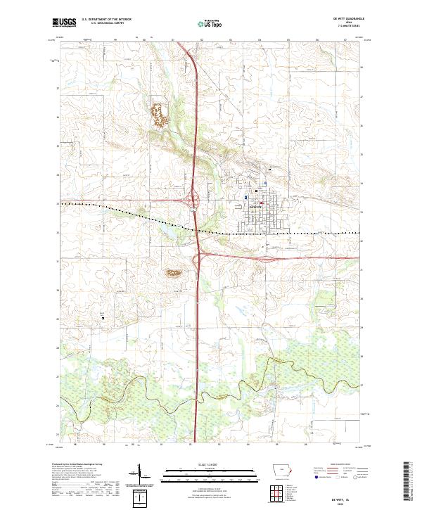
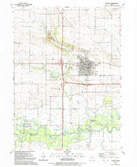
2022 De Witt
Clinton County, IA
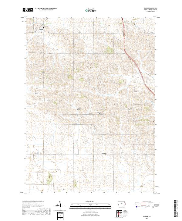
2022 Elwood
Clinton County, IA
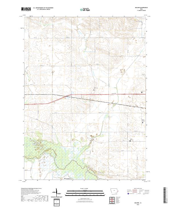
2022 Malone
Clinton County, IA