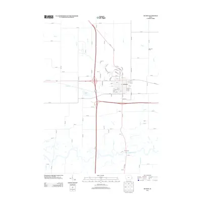
2022 Map of De Witt
USGS Topo · Published 2022About this map
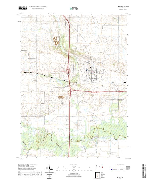
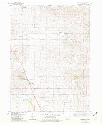
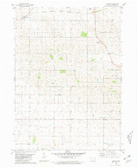
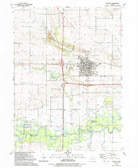
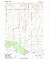
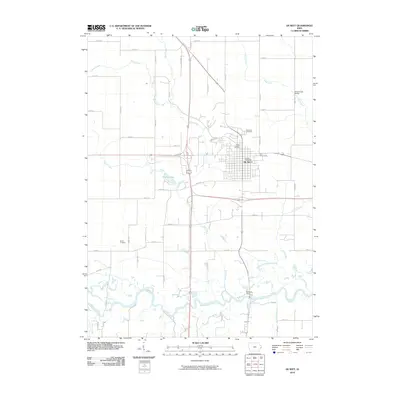
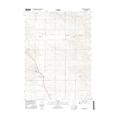
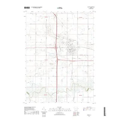
Dewitt serves as the central hub for this portion of eastern Iowa, situated near the winding course of the Wapsipinicon River. The landscape is defined by its agricultural grid and a network of waterways, including Silver Cr and Crystal Cr, which feed toward the river valley to the south. Genealogists and local researchers will find several well-documented burial sites across the township lines, notably Elmwood Cem, Saint Joseph Cem, and the more isolated Smith Cem to the southwest. The terrain transitions from the developed streets of the town center to the wetlands and riparian zones of the river bottomlands at the Clinton Co and Scott Co border. Small water bodies like Crystal Lake and numerous named creeks such as Ames Cr and McDonald Cr further detail the local drainage patterns and rural character of the area.
Find a feature on this map
68 named features on this map. Tap any name to fly to it.
Don’t see what you’re looking for? This feature index may not catch every label — zoom into the map to look around manually.
Map Details
Editions of this 2022 De Witt Map
This is the sole edition of this map. No revisions or reprints were ever made.
Historical Maps of DeWitt Through Time
32 maps found
1953 De Witt
Clinton County, IA
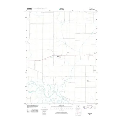
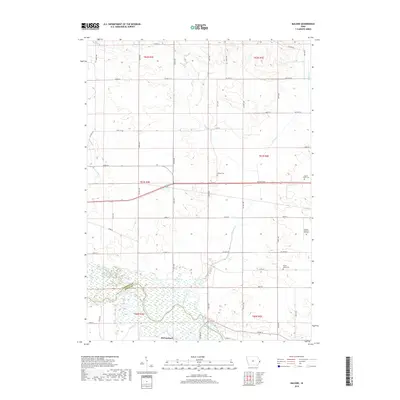
1953 Malone
Clinton County, IA
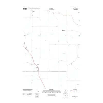
1967 Clinton NW
Clinton County, IA
1980 Delmar South
Clinton County, IA
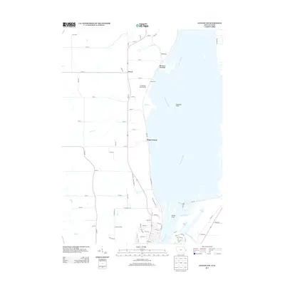
1980 Elwood
Clinton County, IA
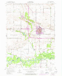
1991 De Witt
Clinton County, IA
1991 Malone
Clinton County, IA
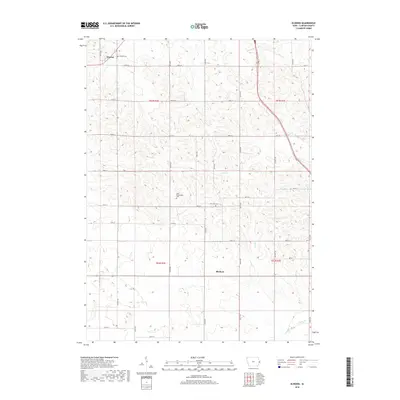
2010 Clinton NW
Clinton County, IA
2010 Delmar South
Clinton County, IA
2010 De Witt
Clinton County, IA
2010 Elwood
Clinton County, IA
2010 Malone
Clinton County, IA
2013 Clinton NW
Clinton County, IA
2013 Delmar South
Clinton County, IA
2013 De Witt
Clinton County, IA
2013 Elwood
Clinton County, IA
2013 Malone
Clinton County, IA

2015 Clinton NW
Clinton County, IA
2015 Delmar South
Clinton County, IA
2015 De Witt
Clinton County, IA
2015 Elwood
Clinton County, IA
2015 Malone
Clinton County, IA
2018 Clinton NW
Clinton County, IA
2018 Delmar South
Clinton County, IA
2018 De Witt
Clinton County, IA
2018 Elwood
Clinton County, IA
2018 Malone
Clinton County, IA
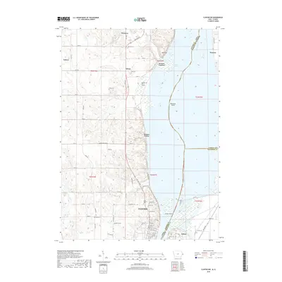
2022 Clinton NW
Clinton County, IA
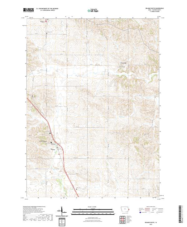
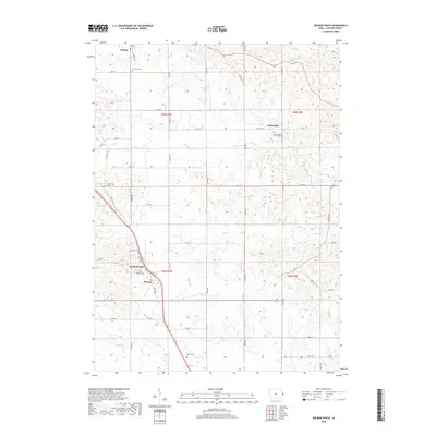
2022 Delmar South
Clinton County, IA
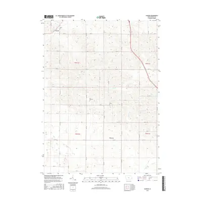
2022 De Witt
Clinton County, IA
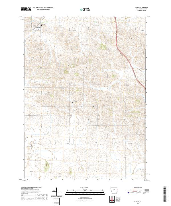
2022 Elwood
Clinton County, IA
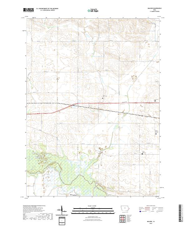
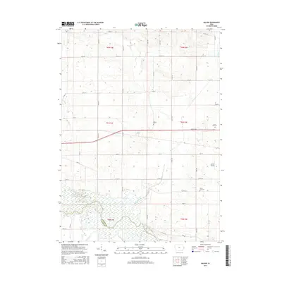
2022 Malone
Clinton County, IA