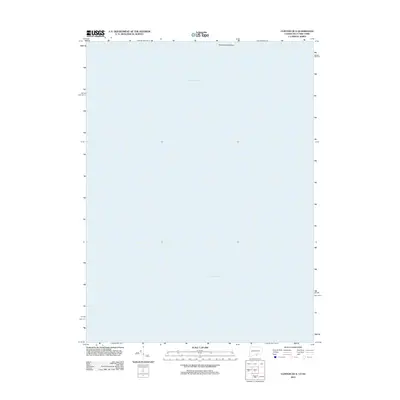
2012 Map of Clinton OE S
USGS Topo · Published 2012About this map
Long Island Sound dominates this coastal survey, capturing the expanse between the Connecticut shoreline and Long Island. The map is defined by its maritime character, focusing on the open waters and navigational approaches in this stretch of the sound. At the northern edge of the sheet, Hammonasset Point projects into the water, marking a transition from the shoreline of the mainland into the maritime corridor. Produced by the U.S. Geological Survey using 2010 aerial imagery, the map provides a precise record of this aquatic landscape and its coastal fringe just after the turn of the decade.
Find a feature on this map
2 named features on this map. Tap any name to fly to it.
Don’t see what you’re looking for? This feature index may not catch every label — zoom into the map to look around manually.
Map Details
Editions of this 2012 Clinton OE S Map
This is the sole edition of this map. No revisions or reprints were ever made.
Other maps of this area

1893 · Guilford
USGS Topo · 1:62,500

1893 · Saybrook
USGS Topo · 1:62,500

1904 · Shelter Island
USGS Topo · 1:62,500

1944 · Essex
USGS Topo · 1:31,680

1947 · Mattituck Hills
USGS Topo · 1:24,000

1947 · Southold
USGS Topo · 1:24,000

1947 · Hartford
USGS Topo · 1:250,000

1948 · Hartford
USGS Topo · 1:250,000

1951 · Clinton
USGS Topo · 1:31,680

1954 · Guilford
USGS Topo · 1:31,680
Featured Places
- Southold, NY
- Madison, CT
- Clinton, CT
- Suffolk County, NY
- Lower Connecticut River Valley Planning Region, CT