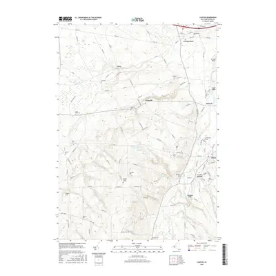
2016 Map of Clinton
USGS Topo · Published 2016About this map
Hamilton Coll dominates the central hills of this Oneida County landscape, with its academic grounds situated near the Hamilton College Reservoirs and the wooded slopes of Coll Hill. The surrounding valley is defined by the course of Oriskany Creek, which links the established settlements of Clinton, Kirkland, and Clark Mills. This area shows a dense concentration of historical burial sites, including the Westmoreland Cem and Kirkland Prospect Hill Cem, reflecting generations of settlement in the Mohawk Valley region.
Find a feature on this map
105 named features on this map. Tap any name to fly to it.
Don’t see what you’re looking for? This feature index may not catch every label — zoom into the map to look around manually.
Map Details
Editions of this 2016 Clinton Map
This is the sole edition of this map. No revisions or reprints were ever made.
Other maps of this area

1895 · Oriskany
USGS Topo · 1:62,500

1895 · Oneida
USGS Topo · 1:62,500

1898 · Oneida
USGS Topo · 1:62,500

1898 · Oriskany
USGS Topo · 1:62,500

1902 · Morrisville
USGS Topo · 1:62,500

1902 · Oneida
USGS Topo · 1:62,500

1907 · Sangerfield
USGS Topo · 1:62,500

1939 · Oneida
USGS Topo · 1:62,500

1943 · Cassville
USGS Topo · 1:24,000

1943 · Sangerfield
USGS Topo · 1:62,500