
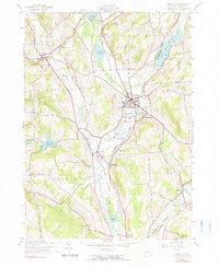
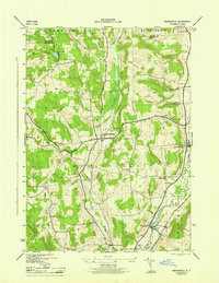
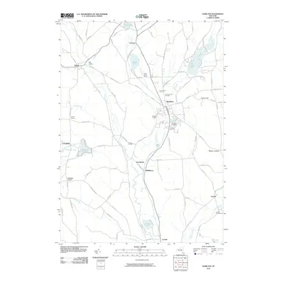
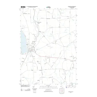
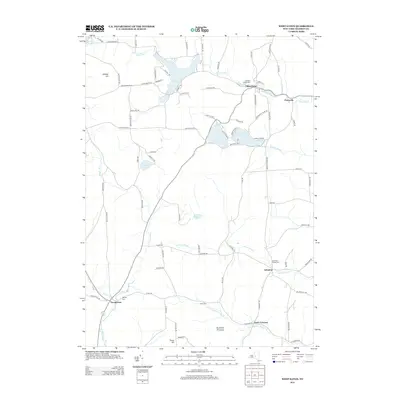
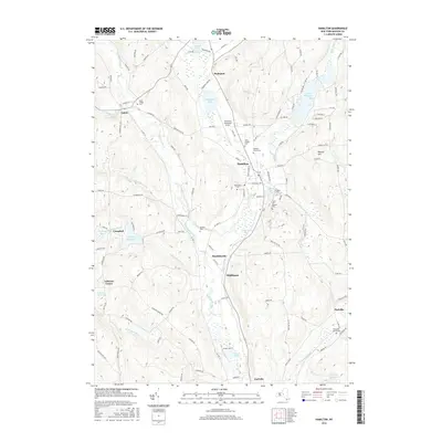
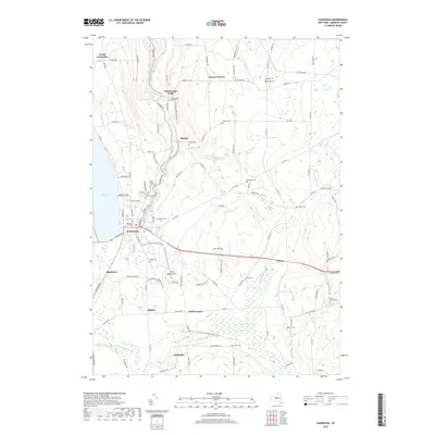
1943 Map of Sangerfield
USGS Topo · Published 1960About this map
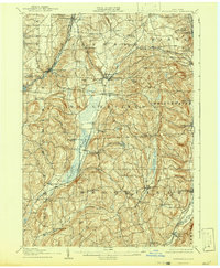
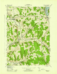
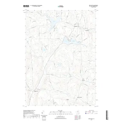
Oriskany Falls and Waterville anchor this 1943 survey of central New York, where the Sangerfield River and Oriskany Creek define the movement of goods and people. The landscape is a network of small dairy-era hamlets and rail connections, including the New York Ontario and Western RR and the Delaware Lackawanna and Western RR. Local life centers on rural institutions like the Cole Hill School and St Bernards Cemetery, while industrial activity is evident at Forge Hollow and the Fairground near Brookfield. High points like Tassel Hill and Hardscrabble Hill overlook a valley floor dotted with glacial ponds such as Lyons Pond and Bailey Lake. The map reveals a highly developed mid-century agricultural landscape where crossroads settlements like Brothertown and Greens Crossing still maintained distinct identities.
Find a feature on this map
133 named features on this map. Tap any name to fly to it.
Don’t see what you’re looking for? This feature index may not catch every label — zoom into the map to look around manually.
Map Details
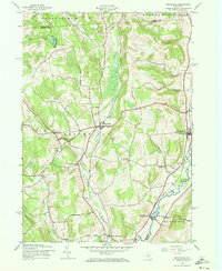
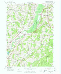
Editions of this 1943 Sangerfield Map
This is the sole edition of this map. No revisions or reprints were ever made.
Historical Maps of Kirkland Through Time
46 maps found

1897 Cazenovia
Madison County, NY

1899 Cazenovia
Madison County, NY
1907 Sangerfield
Madison County, NY
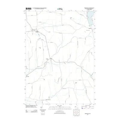
1943 Brookfield
Madison County, NY
1943 Cazenovia
Madison County, NY
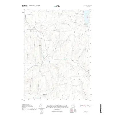
1943 Erieville
Madison County, NY
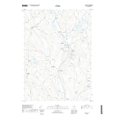
1943 Hamilton
Madison County, NY
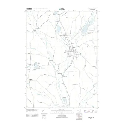
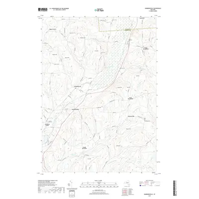
1943 Hubbardsville
Madison County, NY
1943 Sangerfield
Madison County, NY
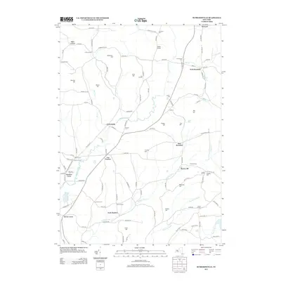
1943 West Eaton
Madison County, NY
1944 Cazenovia
Madison County, NY
1944 Erieville
Madison County, NY
1944 Hamilton
Madison County, NY
1944 Hubbardsville
Madison County, NY
1944 West Eaton
Madison County, NY
1945 Brookfield
Madison County, NY
2010 Brookfield
Madison County, NY
2010 Cazenovia
Madison County, NY
2010 Erieville
Madison County, NY
2010 Hamilton
Madison County, NY
2010 Hubbardsville
Madison County, NY
2010 West Eaton
Madison County, NY
2013 Brookfield
Madison County, NY
2013 Cazenovia
Madison County, NY
2013 Erieville
Madison County, NY
2013 Hamilton
Madison County, NY
2013 Hubbardsville
Madison County, NY
2013 West Eaton
Madison County, NY
2016 Brookfield
Madison County, NY
2016 Cazenovia
Madison County, NY
2016 Erieville
Madison County, NY
2016 Hamilton
Madison County, NY
2016 Hubbardsville
Madison County, NY
2016 West Eaton
Madison County, NY
2019 Brookfield
Madison County, NY
2019 Cazenovia
Madison County, NY
2019 Erieville
Madison County, NY
2019 Hamilton
Madison County, NY
2019 Hubbardsville
Madison County, NY
2019 West Eaton
Madison County, NY

2023 Brookfield
Madison County, NY

2023 Cazenovia
Madison County, NY

2023 Erieville
Madison County, NY

2023 Hamilton
Madison County, NY

2023 Hubbardsville
Madison County, NY

2023 West Eaton
Madison County, NY