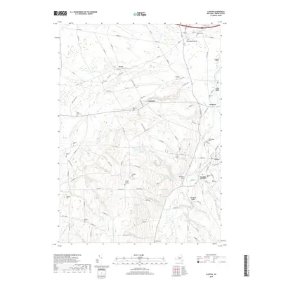
2019 Map of Clinton
USGS Topo · Published 2019About this map
Hamilton Coll serves as a prominent landmark on this landscape in central New York, overlooking the valley of Oriskany Creek. The area is characterized by a dense network of country cemeteries and historical hamlets such as Lairdsville, Kirkland, and Franklin Springs. Settlement patterns follow the winding path of Deans Cr and Turkey Cr, where small industrial centers like Farmers Mills emerged. Numerous family and community burial grounds, including the Blackmen Cem, Evergreen Cem, and Kirkland Prospect Hill Cem, are scattered across the terrain from Prospect Hill to Gibson Hill. The map detail shows the modern road system, including Deans Hwy and Station Hill Rd, as it integrates with the historical geography of these enduring Oneida County communities.
Find a feature on this map
99 named features on this map. Tap any name to fly to it.
Don’t see what you’re looking for? This feature index may not catch every label — zoom into the map to look around manually.
Map Details
Editions of this 2019 Clinton Map
This is the sole edition of this map. No revisions or reprints were ever made.
Other maps of this area

1895 · Oriskany
USGS Topo · 1:62,500

1895 · Oneida
USGS Topo · 1:62,500

1898 · Oneida
USGS Topo · 1:62,500

1898 · Oriskany
USGS Topo · 1:62,500

1902 · Morrisville
USGS Topo · 1:62,500

1902 · Oneida
USGS Topo · 1:62,500

1907 · Sangerfield
USGS Topo · 1:62,500

1939 · Oneida
USGS Topo · 1:62,500

1943 · Cassville
USGS Topo · 1:24,000

1943 · Sangerfield
USGS Topo · 1:62,500