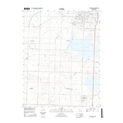
2015 Map of Clinton South
USGS Topo · Published 2015About this map
Clinton sits at the northern edge of this Missouri landscape, where the street grid of the county seat transitions into the expansive waters of the Harry S Truman Reservoir. This 2015 survey illustrates how the impounded waters have transformed the natural drainage of the South Grand River and Deepwater Creek, creating a complex shoreline that defines the central geography. To the south, the settlement of Deepwater remains a key landmark, surrounded by agricultural tracts and small water bodies like June-Bug Lake.
Find a feature on this map
60 named features on this map. Tap any name to fly to it.
Don’t see what you’re looking for? This feature index may not catch every label — zoom into the map to look around manually.
Map Details
Editions of this 2015 Clinton South Map
This is the sole edition of this map. No revisions or reprints were ever made.
Other maps of this area

1887 · Clinton
USGS Topo · 1:125,000

1894 · Clinton
USGS Topo · 1:125,000

1941 · Lowry City
USGS Topo · 1:24,000

1945 · Lowry City
USGS Topo · 1:24,000

1947 · Jefferson City
USGS Topo · 1:250,000

1953 · Gaines
USGS Topo · 1:24,000

1953 · Montrose
USGS Topo · 1:24,000

1953 · Hartwell
USGS Topo · 1:24,000

1953 · Clinton South
USGS Topo · 1:24,000

1953 · Calhoun West
USGS Topo · 1:24,000