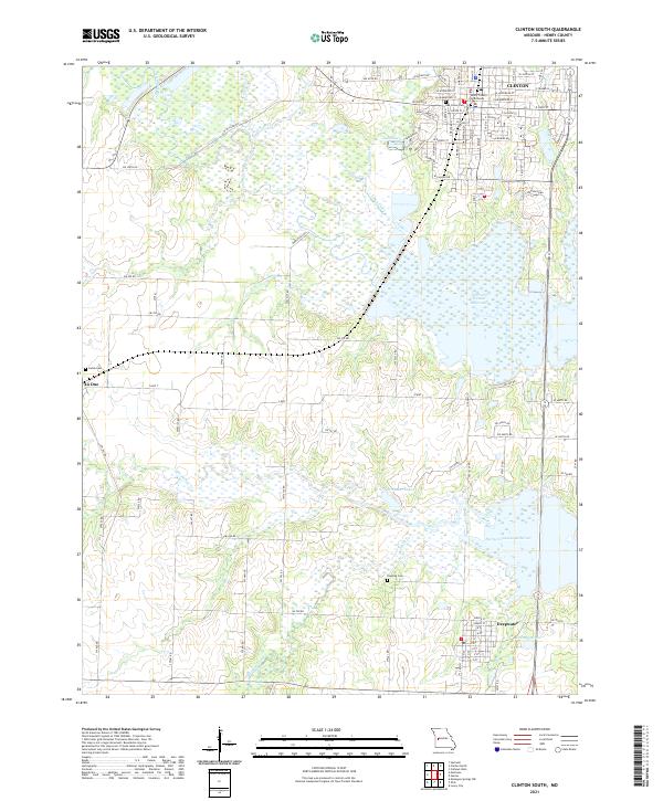
2021 Map of Clinton South
USGS Topo · Published 2021About this map
The Henry County Courthouse stands as the central landmark of Clinton, anchoring a detailed street grid that includes historic thoroughfares like W Jefferson St and E Ohio St. This modern survey documents the significant geographical influence of the Harry S Truman Reservoir, which dominates the eastern and southern landscape. The transition from the urban density of Clinton to the smaller settlements of Deepwater and La Due reflects the rural character of Henry County, where agriculture and water management define the land use.
Find a feature on this map
100 named features on this map. Tap any name to fly to it.
Don’t see what you’re looking for? This feature index may not catch every label — zoom into the map to look around manually.
Map Details
Editions of this 2021 Clinton South Map
This is the sole edition of this map. No revisions or reprints were ever made.
Other maps of this area

1887 · Clinton
USGS Topo · 1:125,000

1894 · Clinton
USGS Topo · 1:125,000

1941 · Lowry City
USGS Topo · 1:24,000

1945 · Lowry City
USGS Topo · 1:24,000

1947 · Jefferson City
USGS Topo · 1:250,000

1953 · Gaines
USGS Topo · 1:24,000

1953 · Montrose
USGS Topo · 1:24,000

1953 · Hartwell
USGS Topo · 1:24,000

1953 · Clinton South
USGS Topo · 1:24,000

1953 · Calhoun West
USGS Topo · 1:24,000