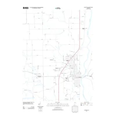
2013 Map of Clinton
USGS Topo · Published 2013About this map
The Wabash River forms the primary eastern boundary of this western Indiana landscape, defining the development of Clinton and its surrounding communities. The town’s grid is flanked by the river and the Lyford Dike and Levee Association Ditch, reflecting the local hydrology's influence on settlement patterns. Moving west and north from the riverfront, the map details a cluster of distinct neighborhoods and small settlements including Fairview Park, Crompton Hill, and Klondyke. These residential areas are interspersed with geographic features like McDonald Lake and waterways such as Feather Creek and Norton Creek. Farther afield, the small village of Centenary and the riverside site of Summit Grove mark the more rural reaches of the county. The inclusion of the Clinton Airport and several creek crossings provides a clear view of the transportation and drainage network supporting these Vermillion County communities.
Find a feature on this map
145 named features on this map. Tap any name to fly to it.
Don’t see what you’re looking for? This feature index may not catch every label — zoom into the map to look around manually.
Map Details
Editions of this 2013 Clinton Map
This is the sole edition of this map. No revisions or reprints were ever made.
Other maps of this area

1947 · Ridge Farm
USGS Topo · 1:62,500

1947 · Paris
USGS Topo · 1:62,500

1949 · Paris
USGS Topo · 1:62,500

1950 · Rosedale
USGS Topo · 1:24,000

1950 · New Goshen
USGS Topo · 1:24,000

1950 · Sandford
USGS Topo · 1:24,000

1951 · Clinton
USGS Topo · 1:24,000

1951 · Mecca
USGS Topo · 1:24,000

1951 · Saint Bernice
USGS Topo · 1:24,000

1953 · Indianapolis
USGS Topo · 1:250,000