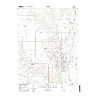
2016 Map of Clinton
USGS Topo · Published 2016About this map
The Wabash River defines the eastern boundary of this Vermillion County landscape, winding past the county line with Parke County. The city of Clinton serves as the primary hub, surrounded by a dense network of residential clusters and historical pockets such as Fairview Park, Crompton Hill, and Sandytown. This area reflects a long history of settlement along the river terrace, where local genealogy is anchored by established sites like Walnut Grove Cem and Riverview Cem.
Find a feature on this map
103 named features on this map. Tap any name to fly to it.
Don’t see what you’re looking for? This feature index may not catch every label — zoom into the map to look around manually.
Map Details
Editions of this 2016 Clinton Map
This is the sole edition of this map. No revisions or reprints were ever made.
Other maps of this area

1947 · Ridge Farm
USGS Topo · 1:62,500

1947 · Paris
USGS Topo · 1:62,500

1949 · Paris
USGS Topo · 1:62,500

1950 · Rosedale
USGS Topo · 1:24,000

1950 · New Goshen
USGS Topo · 1:24,000

1950 · Sandford
USGS Topo · 1:24,000

1951 · Clinton
USGS Topo · 1:24,000

1951 · Mecca
USGS Topo · 1:24,000

1951 · Saint Bernice
USGS Topo · 1:24,000

1953 · Indianapolis
USGS Topo · 1:250,000