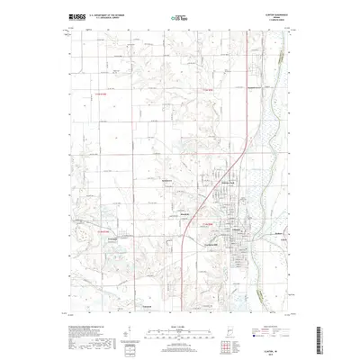
2019 Map of Clinton
USGS Topo · Published 2019About this map
Clinton and its surrounding riverfront communities define the landscape along the western banks of the Wabash River in this detailed 2019 survey. The area exhibits a dense pattern of residential development and traditional grid-based towns including Fairview Park, Centenary, and Universal. The geography is characterized by the flat floodplain to the east, protected by the Lyford Dike and Levee Association Ditch, contrasting with the higher elevations to the west near Crompton Hill.
Find a feature on this map
162 named features on this map. Tap any name to fly to it.
Don’t see what you’re looking for? This feature index may not catch every label — zoom into the map to look around manually.
Map Details
Editions of this 2019 Clinton Map
This is the sole edition of this map. No revisions or reprints were ever made.
Other maps of this area

1947 · Ridge Farm
USGS Topo · 1:62,500

1947 · Paris
USGS Topo · 1:62,500

1949 · Paris
USGS Topo · 1:62,500

1950 · Rosedale
USGS Topo · 1:24,000

1950 · New Goshen
USGS Topo · 1:24,000

1950 · Sandford
USGS Topo · 1:24,000

1951 · Clinton
USGS Topo · 1:24,000

1951 · Mecca
USGS Topo · 1:24,000

1951 · Saint Bernice
USGS Topo · 1:24,000

1953 · Indianapolis
USGS Topo · 1:250,000