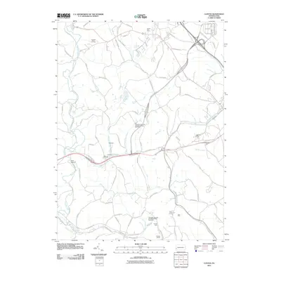
2010 Map of Clinton
USGS Topo · Published 2010About this map
Raccoon Creek and its many tributaries, including Bigger Run and Saint Patrick Run, carve through this landscape of western Pennsylvania. The area's industrial legacy is clearly visible through features like the Shaw Mine and the massive Champion Number One Mine Refuse Bank Dam, reflecting the region's deep ties to coal extraction. Water management infrastructure is also prominent, with the McDonald Waterworks located near both an Old Dam and New Dam.
Find a feature on this map
81 named features on this map. Tap any name to fly to it.
Don’t see what you’re looking for? This feature index may not catch every label — zoom into the map to look around manually.
Map Details
Editions of this 2010 Clinton Map
This is the sole edition of this map. No revisions or reprints were ever made.
Other maps of this area

1901 · Beaver
USGS Topo · 1:62,500

1904 · Beaver
USGS Topo · 1:62,500

1904 · Carnegie
USGS Topo · 1:62,500

1904 · Burgettstown
USGS Topo · 1:62,500

1906 · Burgettstown
USGS Topo · 1:62,500

1906 · Carnegie
USGS Topo · 1:62,500

1906 · Sewickley
USGS Topo · 1:62,500

1908 · Sewickley
USGS Topo · 1:62,500

1908 · Carnegie
USGS Topo · 1:62,500

1951 · Canton
USGS Topo · 1:250,000
Featured Places
- Independence Township, PA
- Robinson Township, PA
- Clinton, Findlay Township
- Bavington, Smith Township
- Candor, Robinson Township