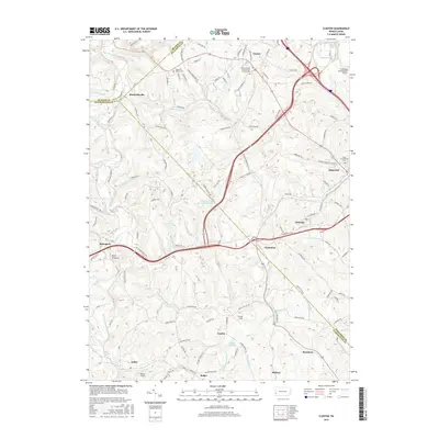
2016 Map of Clinton
USGS Topo · Published 2016About this map
The western edge of the Pittsburgh International Airport dominates the northeast corner of this landscape where Beaver, Allegheny, and Washington Counties converge. This 2016 survey documents a region transitioning from its industrial and agricultural roots toward suburban development, particularly around Clinton and Imperial. Local history and genealogy are anchored by several notable sites, including the Clinton United Presbyterian Church Cem and Hebron Cem, which sit amid a network of township roads.
Find a feature on this map
111 named features on this map. Tap any name to fly to it.
Don’t see what you’re looking for? This feature index may not catch every label — zoom into the map to look around manually.
Map Details
Editions of this 2016 Clinton Map
This is the sole edition of this map. No revisions or reprints were ever made.
Other maps of this area

1901 · Beaver
USGS Topo · 1:62,500

1904 · Beaver
USGS Topo · 1:62,500

1904 · Carnegie
USGS Topo · 1:62,500

1904 · Burgettstown
USGS Topo · 1:62,500

1906 · Burgettstown
USGS Topo · 1:62,500

1906 · Carnegie
USGS Topo · 1:62,500

1906 · Sewickley
USGS Topo · 1:62,500

1908 · Sewickley
USGS Topo · 1:62,500

1908 · Carnegie
USGS Topo · 1:62,500

1951 · Canton
USGS Topo · 1:250,000
Featured Places
- Independence Township, PA
- Robinson Township, PA
- Clinton, Findlay Township
- Bavington, Smith Township
- Candor, Robinson Township