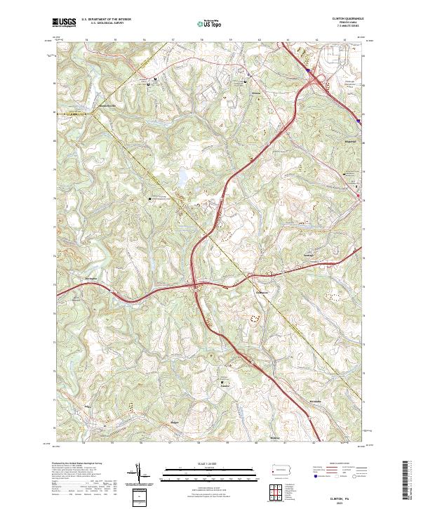
2023 Map of Clinton
USGS Topo · Published 2023About this map
Pittsburgh International Airport occupies the northeastern corner of this landscape, marking the transition from rural townships to a major regional hub. The surrounding terrain in Allegheny and Washington Counties remains defined by winding watercourses like Raccoon Creek and Potato Garden Run, which carve deep valleys between the upland ridges. Small, long-standing settlements such as Murdocksville, Clinton, and Imperial are scattered across the quadrangle, connected by historical routes like the Steubenville Pike.
Find a feature on this map
132 named features on this map. Tap any name to fly to it.
Don’t see what you’re looking for? This feature index may not catch every label — zoom into the map to look around manually.
Map Details
Editions of this 2023 Clinton Map
This is the sole edition of this map. No revisions or reprints were ever made.
Other maps of this area

1901 · Beaver
USGS Topo · 1:62,500

1904 · Beaver
USGS Topo · 1:62,500

1904 · Carnegie
USGS Topo · 1:62,500

1904 · Burgettstown
USGS Topo · 1:62,500

1906 · Burgettstown
USGS Topo · 1:62,500

1906 · Carnegie
USGS Topo · 1:62,500

1906 · Sewickley
USGS Topo · 1:62,500

1908 · Sewickley
USGS Topo · 1:62,500

1908 · Carnegie
USGS Topo · 1:62,500

1951 · Canton
USGS Topo · 1:250,000
Featured Places
- Independence Township, PA
- Robinson Township, PA
- Clinton, Findlay Township
- Champion, North Fayette Township
- Murdocksville, Findlay Township