Loading...
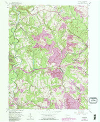
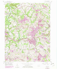
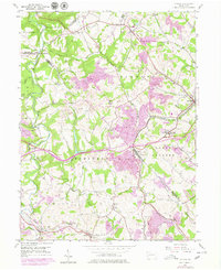
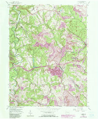
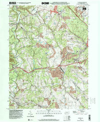
Loading map...1954 Map of Clinton
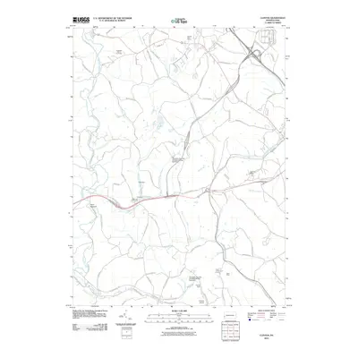
USGS Topo · Published 1990About this map
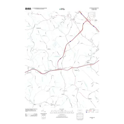
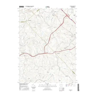
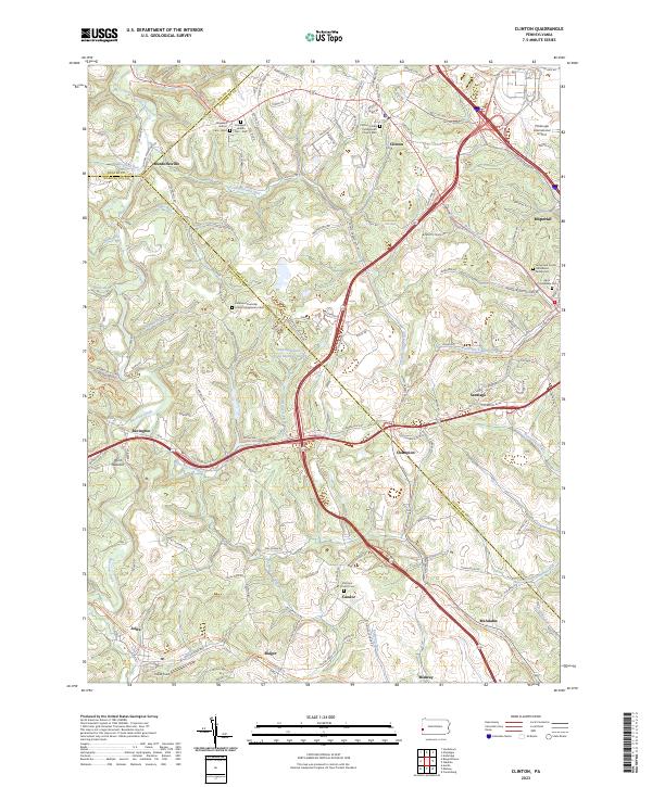
Industrial transformation defines this corner of Allegheny and Washington counties, where the landscape of Raccoon Creek and its many tributaries, such as Potato Garden Run and Chamberlain Run, meets extensive mining operations. While older rural life is represented by Hebron Ch and Raccoon Ch, much of the terrain around Bald Knob is shaped by Strip Mines. The transition from active extraction to land recovery is evidenced by significant acreage marked as Reclaimed Strip Mines, particularly near Santiago (Tyre PO) and Champion.
Find a feature on this map
40 named features on this map. Tap any name to fly to it.
Don’t see what you’re looking for? This feature index may not catch every label — zoom into the map to look around manually.
Map Details
Date Portrayed1954
Date Published1990
PublisherU.S. Geological Survey
Map TypeTopographic
Scale1:24,000
Physical Dimensions22 x 26.9 inches
Editions of this 1954 Clinton Map
7 editions found
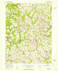
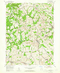
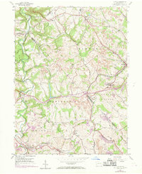
Historical Maps of Independence Township Through Time
7 maps found
Featured Locations
- Hanover Township, PA
- Robinson Township, PA
- Smith Township, PA
- Independence Township, PA
- Clinton, Findlay Township
Source Details
SourceU.S. Geological Survey
CopyrightPublic Domain