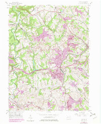
1954 Map of Clinton
USGS Topo · Published 1979About this map
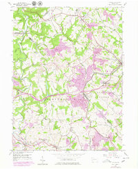
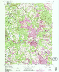
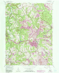
Extensive industrial activity defines this landscape at the intersection of Allegheny, Beaver, and Washington counties. Large Strip Mines and a prominent Mine Dump underscore the region's extraction history, while the sprawling Hillman State Park occupies a significant portion of the western terrain. The settlement of Imperial and the Santiago post office area are linked by the Conrail line, which follows the winding course of the South Fork Montour Run. Local heritage is anchored by long-standing landmarks such as Hebron Ch near the northern boundary and Raccoon Ch further south.
Find a feature on this map
45 named features on this map. Tap any name to fly to it.
Don’t see what you’re looking for? This feature index may not catch every label — zoom into the map to look around manually.
Map Details
Editions of this 1954 Clinton Map
7 editions found
Other maps of this area

1901 · Beaver
USGS Topo · 1:62,500

1904 · Beaver
USGS Topo · 1:62,500

1904 · Carnegie
USGS Topo · 1:62,500

1904 · Burgettstown
USGS Topo · 1:62,500

1906 · Burgettstown
USGS Topo · 1:62,500

1906 · Carnegie
USGS Topo · 1:62,500

1906 · Sewickley
USGS Topo · 1:62,500

1908 · Sewickley
USGS Topo · 1:62,500

1908 · Carnegie
USGS Topo · 1:62,500

1951 · Canton
USGS Topo · 1:250,000
Featured Places
- Independence Township, PA
- Robinson Township, PA
- Clinton, Findlay Township
- Hanover Township, PA
- Smith Township, PA