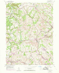
1954 Map of Clinton
USGS Topo · Published 1969About this map
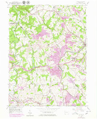
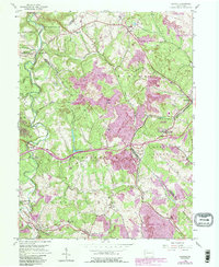
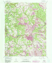
Imperial and the nearby Clinton area define this landscape during a period of industrial expansion across the borders of Allegheny, Beaver, and Washington counties. Extensive Strip Mines and numerous mine dumps dominate the terrain, particularly around Santiago and Champion, illustrating the heavy footprint of the local coal industry. The southern reach of the map follows the Penn Central rail line through Bulger and Raccoon, connecting these mining communities to larger regional markets.
Find a feature on this map
43 named features on this map. Tap any name to fly to it.
Don’t see what you’re looking for? This feature index may not catch every label — zoom into the map to look around manually.
Map Details
Editions of this 1954 Clinton Map
7 editions found
Other maps of this area

1901 · Beaver
USGS Topo · 1:62,500

1904 · Beaver
USGS Topo · 1:62,500

1904 · Carnegie
USGS Topo · 1:62,500

1904 · Burgettstown
USGS Topo · 1:62,500

1906 · Burgettstown
USGS Topo · 1:62,500

1906 · Carnegie
USGS Topo · 1:62,500

1906 · Sewickley
USGS Topo · 1:62,500

1908 · Sewickley
USGS Topo · 1:62,500

1908 · Carnegie
USGS Topo · 1:62,500

1951 · Canton
USGS Topo · 1:250,000
Featured Places
- Independence Township, PA
- Robinson Township, PA
- Clinton, Findlay Township
- Hanover Township, PA
- Smith Township, PA