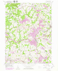
1954 Map of Clinton
USGS Topo · Published 1979About this map
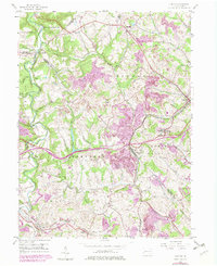
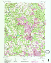
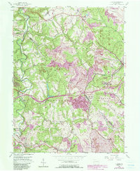
Industrial activity and rural communities converge in this portion of the Pennsylvania coal country, where the landscape is heavily influenced by extensive Strip Mines and prominent Mine Dump sites. The terrain is deeply carved by waterways like Raccoon Creek and Montour Run, creating a jagged topography that dictated the placement of rail lines and early settlements. The Montour RR and Conrail corridors serve as the region's backbone, linking mining operations near Imperial and Bulger with broader markets.
Find a feature on this map
46 named features on this map. Tap any name to fly to it.
Don’t see what you’re looking for? This feature index may not catch every label — zoom into the map to look around manually.
Map Details
Editions of this 1954 Clinton Map
7 editions found
Other maps of this area

1901 · Beaver
USGS Topo · 1:62,500

1904 · Beaver
USGS Topo · 1:62,500

1904 · Carnegie
USGS Topo · 1:62,500

1904 · Burgettstown
USGS Topo · 1:62,500

1906 · Burgettstown
USGS Topo · 1:62,500

1906 · Carnegie
USGS Topo · 1:62,500

1906 · Sewickley
USGS Topo · 1:62,500

1908 · Sewickley
USGS Topo · 1:62,500

1908 · Carnegie
USGS Topo · 1:62,500

1951 · Canton
USGS Topo · 1:250,000
Featured Places
- Independence Township, PA
- Robinson Township, PA
- Clinton, Findlay Township
- Hanover Township, PA
- Smith Township, PA