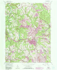
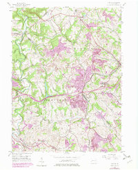
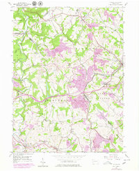
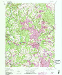
1954 Map of Clinton
USGS Topo · Published 1990About this map
Extensive industrial and transportation networks define this portion of western Pennsylvania, where the sprawling Greater Pittsburgh International Airport meets a landscape heavily modified by extraction. The map documents a significant era of transition, showing large areas designated as Reclaimed Strip Mines alongside active Strip Mine operations that have reshaped the terrain around Bald Knob. Local life is anchored by traditional settlements like Clinton and Imperial, while the rural character is preserved in the west within Raccoon Creek State Park. Historical researchers can trace the path of the Montour RR and the P & W V Ry as they navigate the ridges and valleys carved by Raccoon Creek and South Fork Montour Run. The presence of landmarks such as Hebron Ch and Santiago (Tyre PO) provides specific points of interest for genealogical study and local history.
Find a feature on this map
46 named features on this map. Tap any name to fly to it.
Don’t see what you’re looking for? This feature index may not catch every label — zoom into the map to look around manually.
Map Details
Editions of this 1954 Clinton Map
7 editions found
Other maps of this area

1901 · Beaver
USGS Topo · 1:62,500

1904 · Beaver
USGS Topo · 1:62,500

1904 · Carnegie
USGS Topo · 1:62,500

1904 · Burgettstown
USGS Topo · 1:62,500

1906 · Burgettstown
USGS Topo · 1:62,500

1906 · Carnegie
USGS Topo · 1:62,500

1906 · Sewickley
USGS Topo · 1:62,500

1908 · Sewickley
USGS Topo · 1:62,500

1908 · Carnegie
USGS Topo · 1:62,500

1951 · Canton
USGS Topo · 1:250,000
Featured Places
- Independence Township, PA
- Robinson Township, PA
- Clinton, Findlay Township
- Hanover Township, PA
- Smith Township, PA